
a tale of two seasons
Epic hikes with wolverine whisperer
August 30, 2026
September 4, 2026
On the last Sunday of August the forecast threatened snow in the high country. Wolverine Whisperer and I thought we could work around the forecast and still attempt to hike to Phantom Lake by starting later than usual. By the time we hit the decision making point, hail began pelting us. What did we decide?
The following Friday rewarded us with an 80 degree day, perfect for a point-to-point hike over a plateau with snack breaks by scenic alpine lakes. The views kept us taking pictures endlessly and the solitude bolstered our spirits causing us to meander and linger. Did we make our rendezvous in time for the driver kind enough to shuttle us home?
Phantom Lake attempt
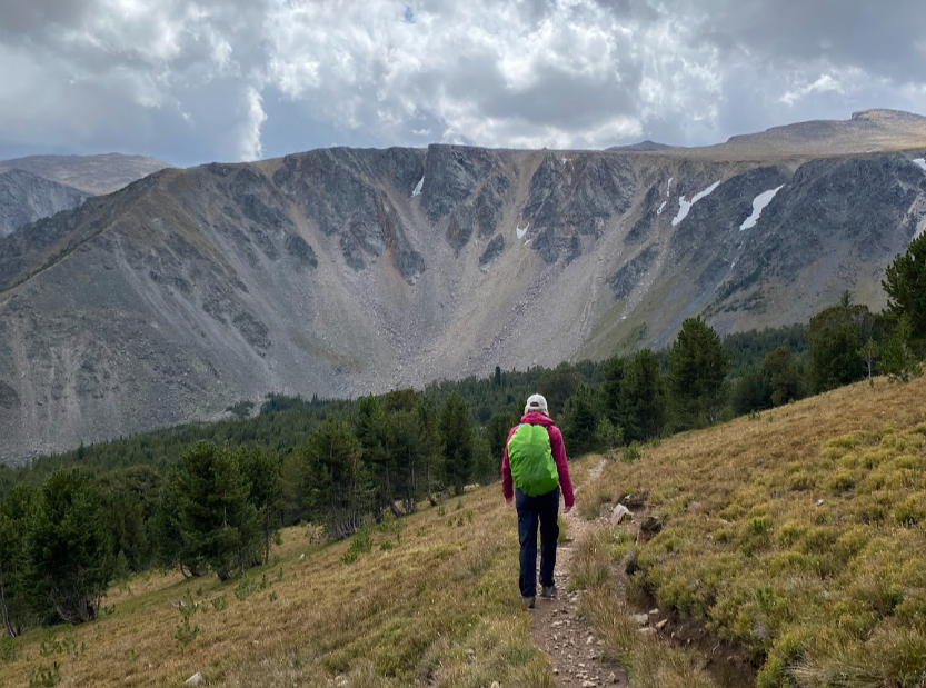
Wolverine Whisperer looking fall in the face on the way back down to summer.
You may recall my Phantom Creek trail review earlier this year. During the spring melt out I previewed the trail for snow levels and whether I could attempt to cross the scree and scramble up to Phantom Lake. At that time it was too sketchy. The lake and the trek remained on “the list.” It also happened to loom large on WW’s list.
Therefore, despite the dismal forecast, we decided to just go for it. At least we figured a late start could help us miss the most of the inclement weather. Then, we would be able to determine the risk when we hit the boulder field and change our route if necessary. We started our hike in full rain gear but expected the sun to come out in time for the second half of the trek.
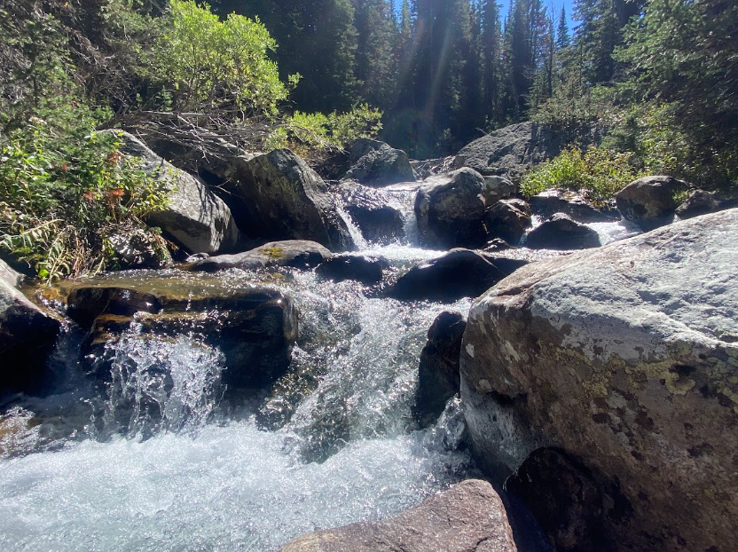
Change our route indeed. We arrived at the creek crossing to find the recent rains spilling down the mountain in raging fashion—an uncommon sight this late into summer—and knew the scree + boulder field would be even more treacherous while wet. Also, hail snow mixture began to fall at just the right decision making time. Since we both forgot trekking poles, we determined the best course of action would be to delay visiting Phantom Lake and simply continue uphill to the top of Froze to Death plateau to take in views before descending towards home.
When we came upon a large flat boulder just below hip height, I asked for a lunch break. I needed protein to complete the climb and the sun had come out to play with us. After light banter, we carried on.
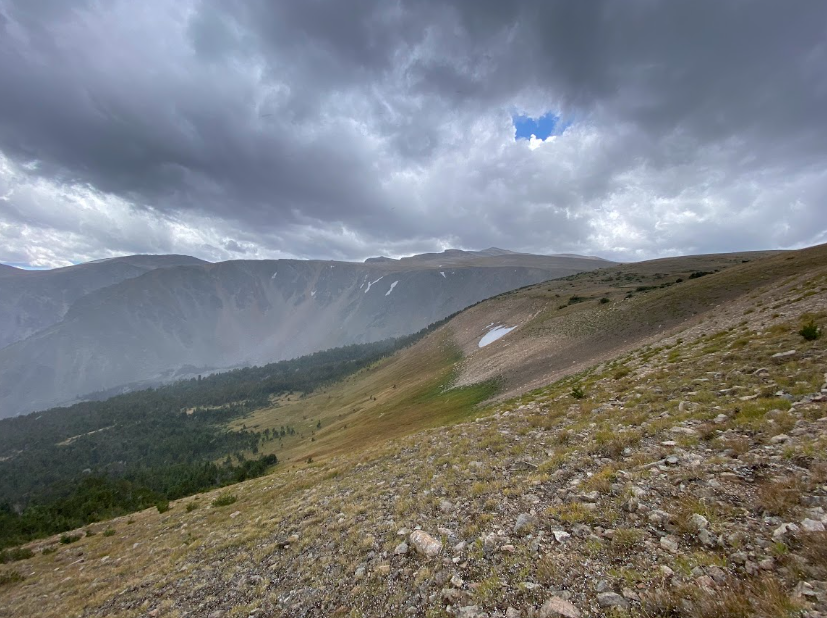
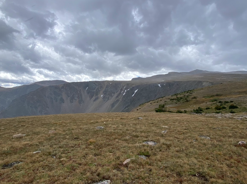
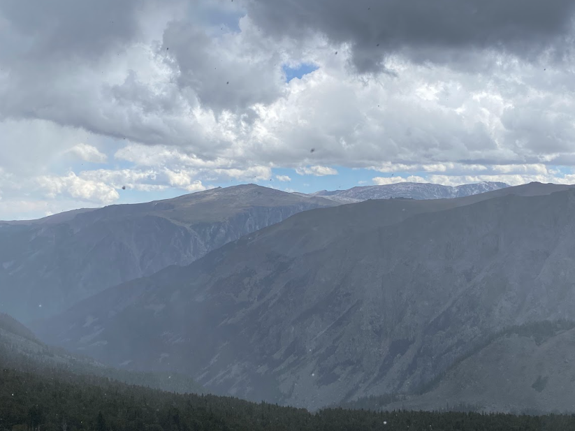
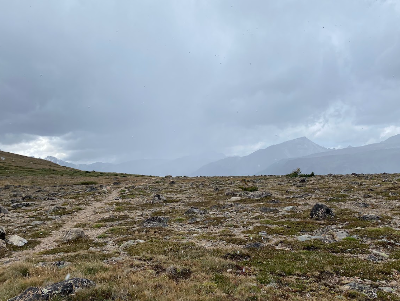
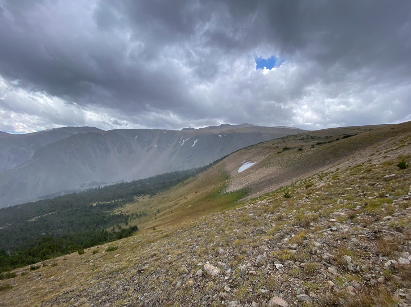
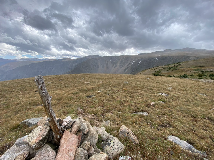
A reminder that fall is coming for us, or rather, that it is upon us already in the mountains soon demonstrated its force. As we ascended the final switchbacks to the top, hail pelted us in the face and looking across at the opposite plateau a collection of fresh snow glistened. I made sure to take a few pics of the storm and our nonexistent views to prove we made it to the top and were really getting snowed on before we turned back down the trail.
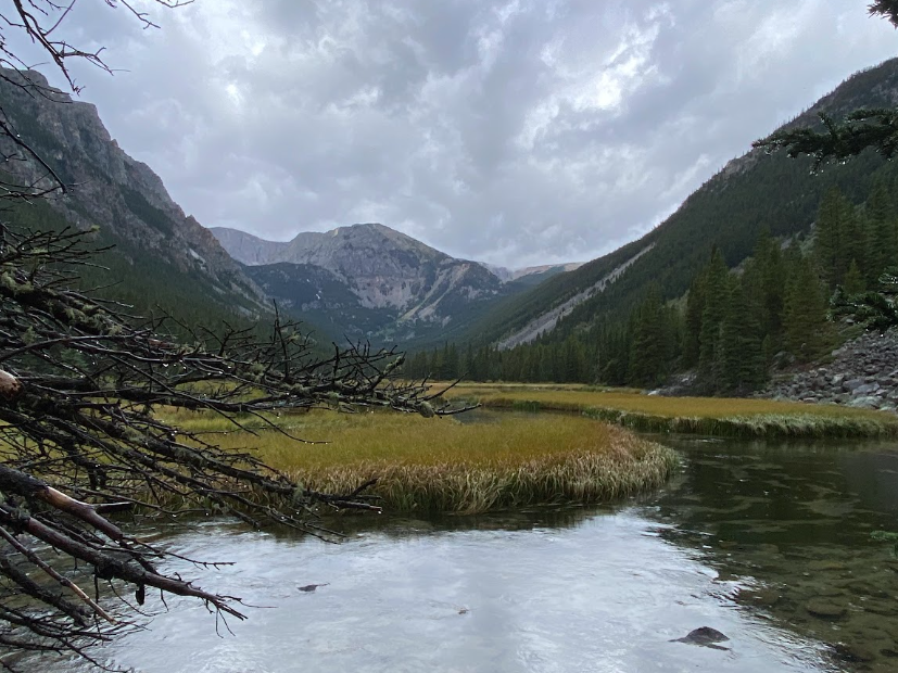
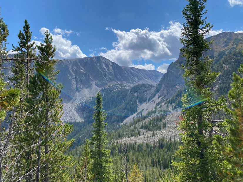
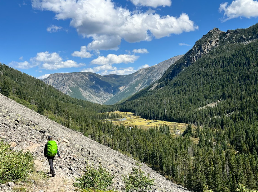
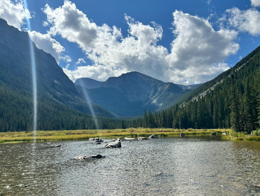
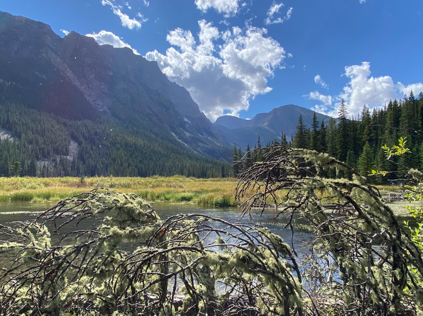
It’s hard to believe the view of Slough Lake on our way back versus the one at the beginning of our hike.
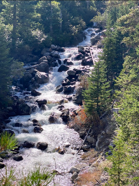
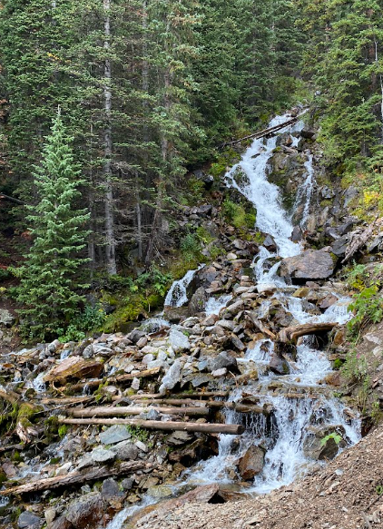
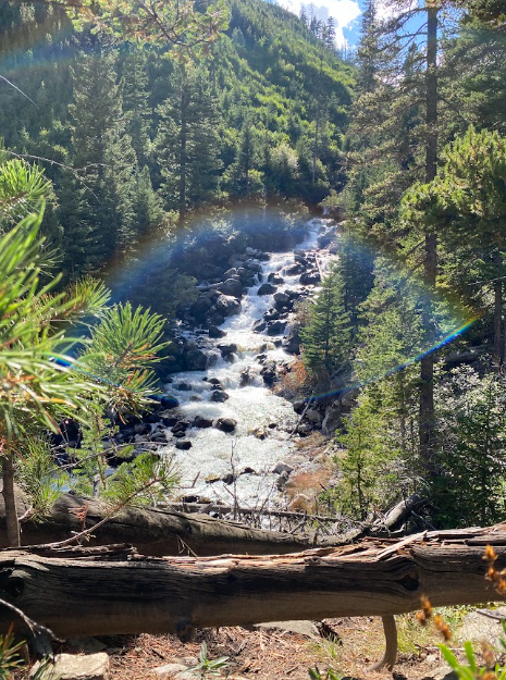
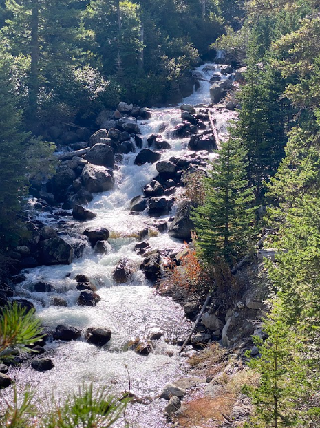
By the time we passed the Phantom Lake turn off, we wanted to shed layers. The views of the peaks across from us were bright in the afternoon sunlight and the roar of the waterfall piqued our interest. When we stopped at Slough Lake for another snack break, we couldn’t believe the views that made it look like a clear, sunny summer day.
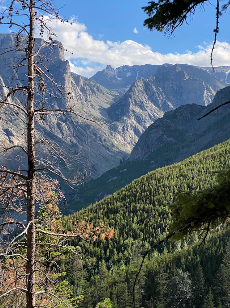
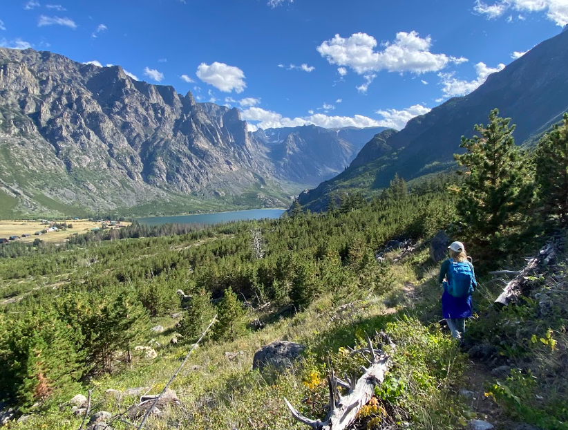
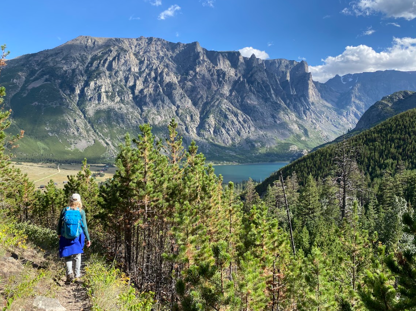
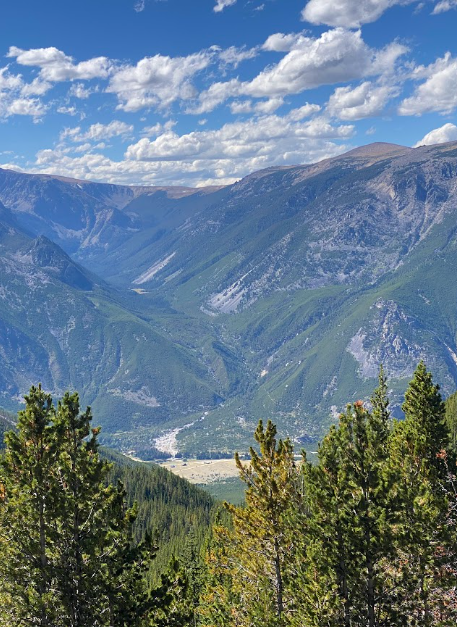
How far and how long you wonder? The creek crossing turn off to Phantom Lake is about 4 miles up from the trailhead and the plateau is about 3 more miles up from that creek location. Our total mileage for the day etched up to the 14 mile mark with approximately [4,000] feet of elevation gain. The final mile back to the trailhead offers stunning views of the East Rosebud canyon and a preview of our next trail adventure together.
crow lake & Sylvan lake thru hike
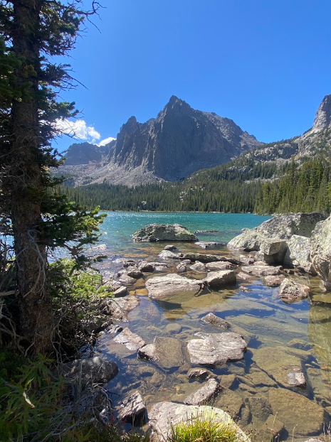
Crow Lake
Sylvan Lake
The forecast for Friday offered redemption so we both played hookie and prepared to check another bucket list hike off our long lists.
The decision to bag a peak or enjoy a 16-mile thru-hike from one canyon to another was difficult. Ultimately, the thru-hike won. I’m appreciative that it did since we experienced the most underrated trail in the Beartooths! Views the entire way, two jewel-toned alpine lakes, creek crossings, and dry desert like sections added to the charm. The rugged terrain (re: steep) + distance keeps people away too.
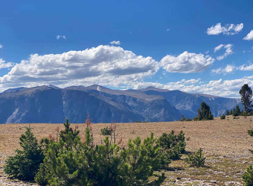
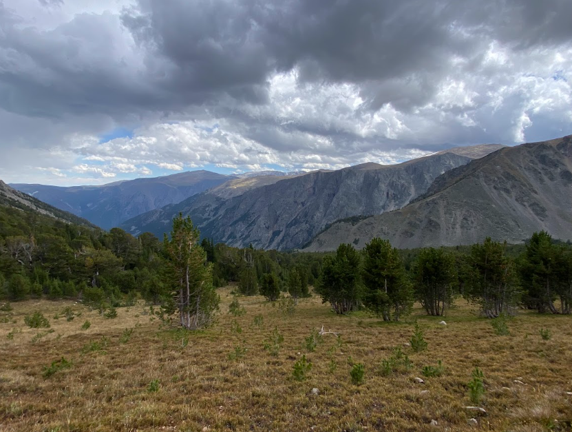
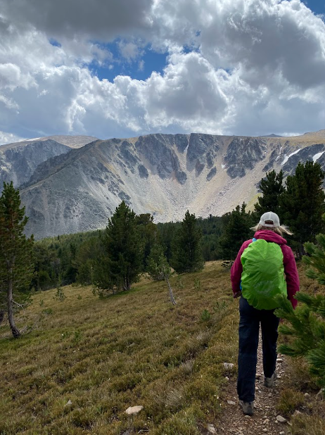
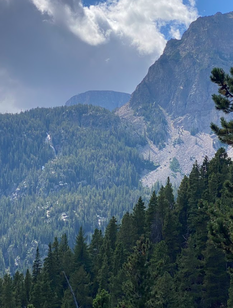
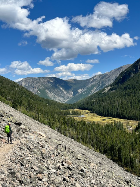
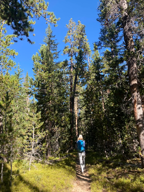
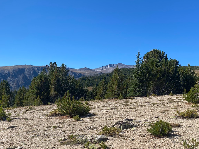
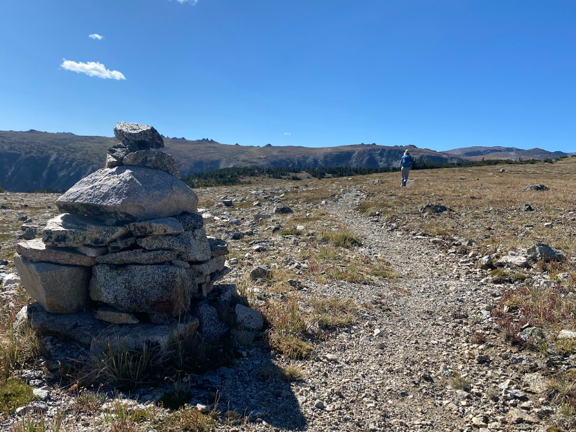
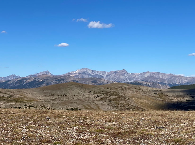
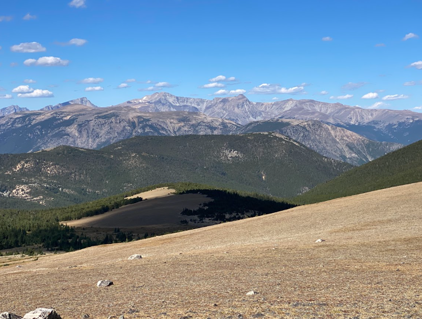
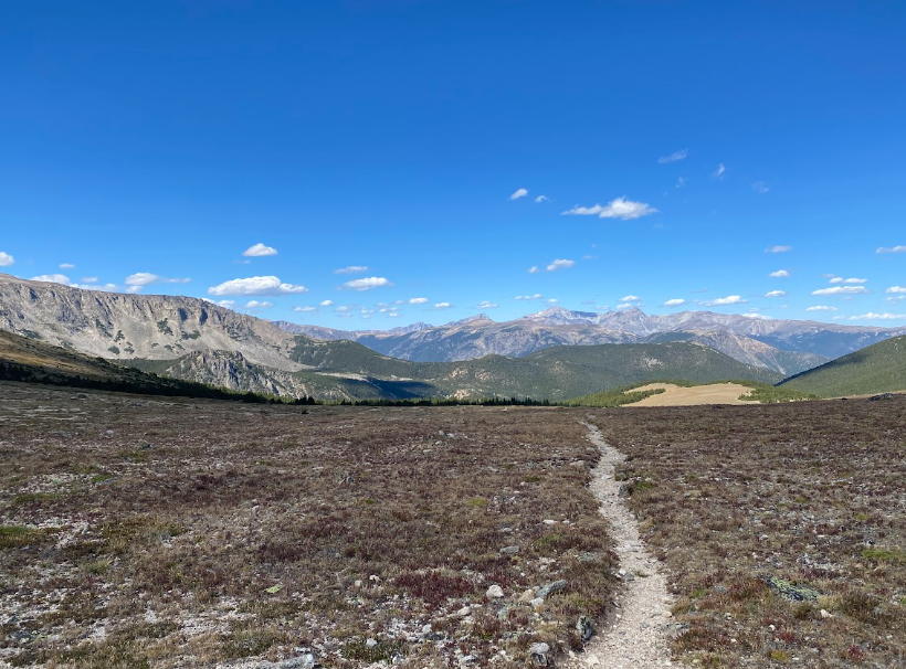
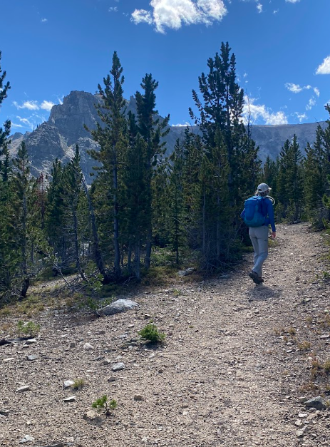
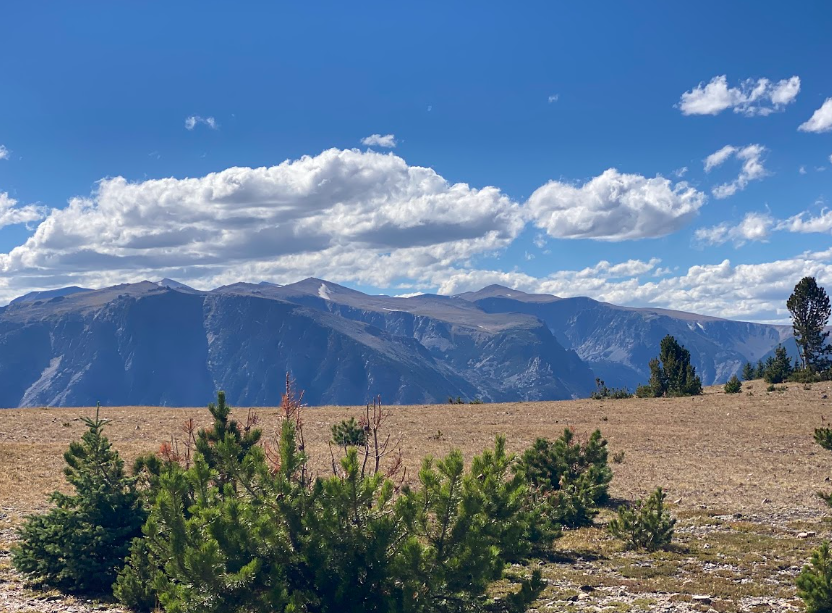
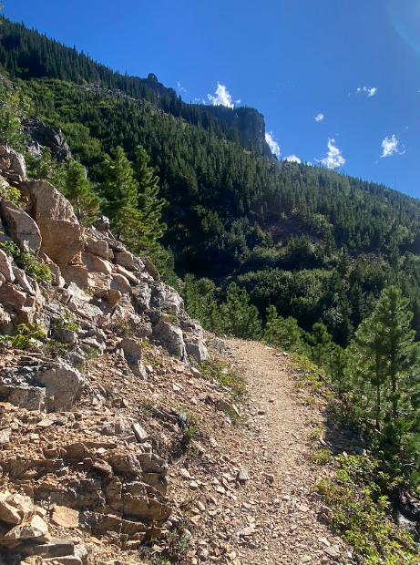
My friend and neighbor picked us up and dropped us off at the trailhead up the West Fork at 8:45am and we had arranged to be picked up in East Rosebud at 5pm. So our work day began! Up Senia Creek, which consists of three miles of switchbacks and stunning views up a canyon with Whitetail Peak in the far distance. The forest provided a short reprieve before we climbed again to the top of the plateau where we enjoyed views of distinct geological features and a wide open sky.
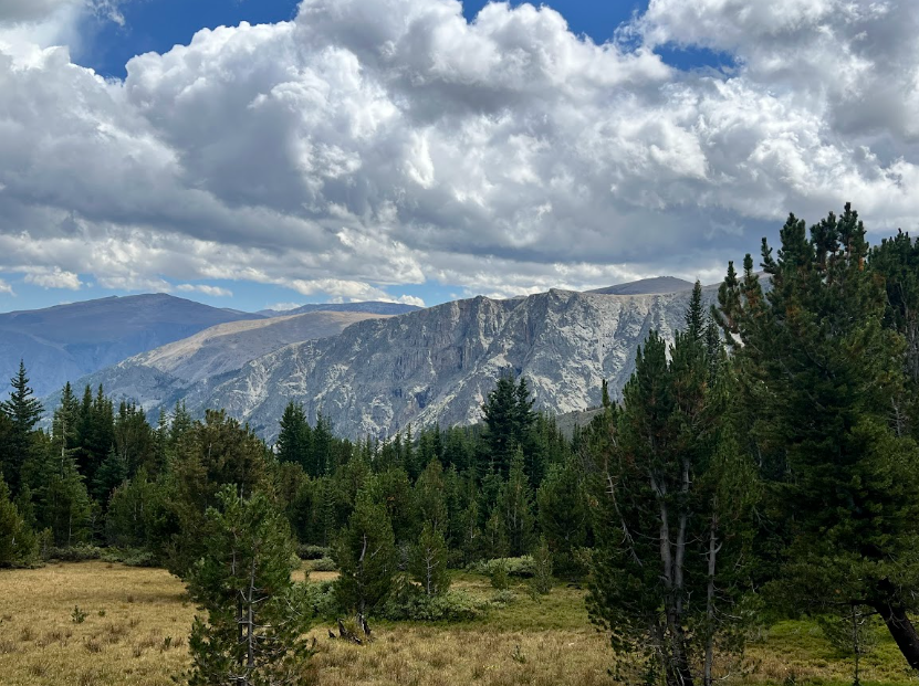
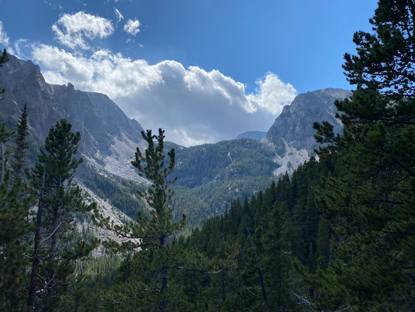
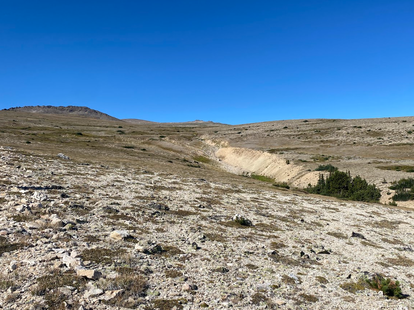
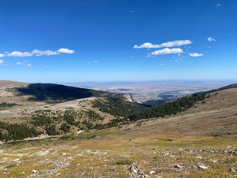
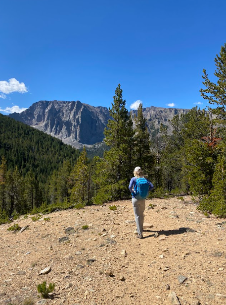
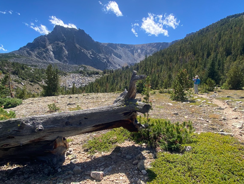
Lunch time on the plateau before descending down into the lake basin offered 360 degree views where we delighted in East Rosebud in the far distance along with the northward view of dry farmland. During the descent, we couldn’t stop taking pictures! Pristine wilderness spread out before us. The trail changed from short grasses to pea gravel as we hit the tree line again though.
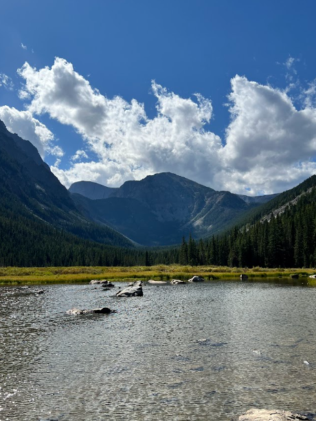
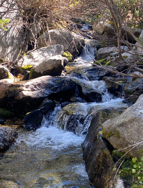
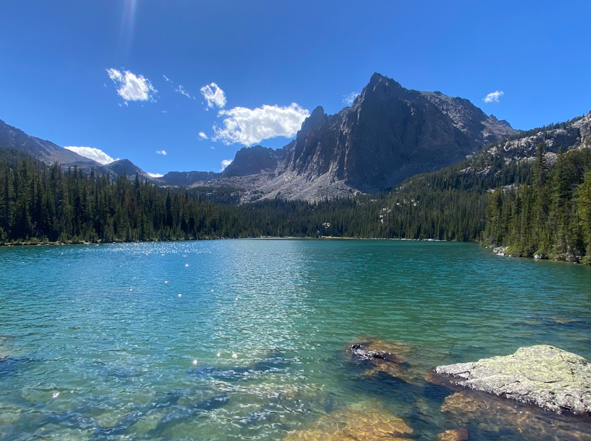
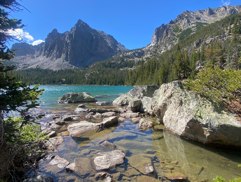
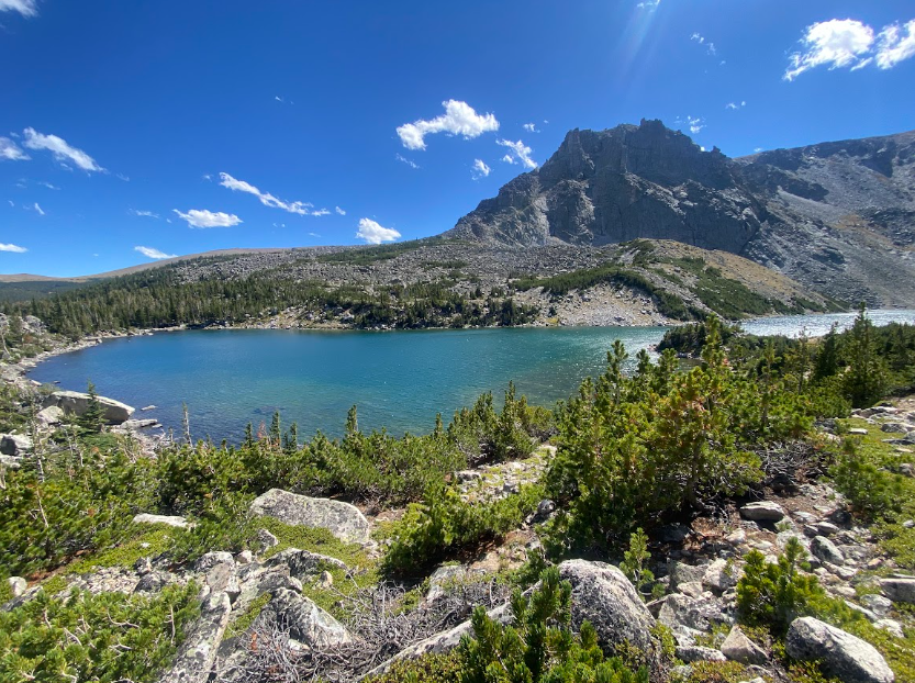
Through the forest and over creeks we moved quickly. Soon our turn to Crow Lake appeared and the sharp change to climbing again caught me off guard. I huffed and puffed up rocks and around bends. Suddenly, the ground became wet and boggy. A lake appeared out of a sprinkling of large rocks. Turquoise water shimmered under the brilliant sun and blue sky. Sylvan Peak sat sentinel over the lake showing off its massive triangular shaped sheer cliff.
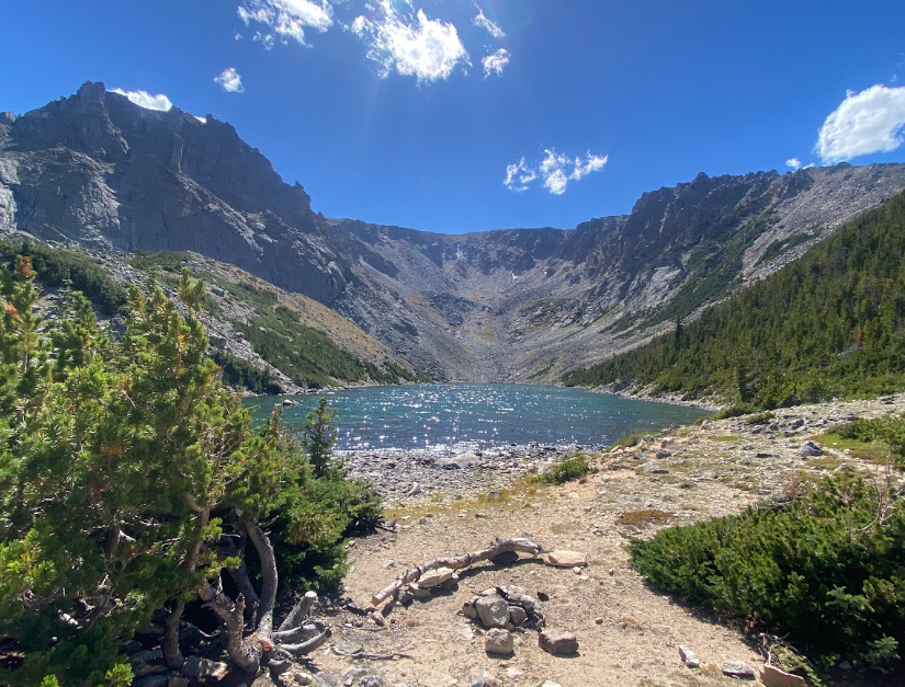
We took pictures, ate a quick snack, then popped back down the trail. A short mile later we found the unmarked turn to Sylvan Lake. The views along the way up to the lake were as mesmerizing as the lake itself! The cliff walls of Sylvan Peak in the distance turned you around from the short distance between these two lakes. The rugged terrain in between reorients your senses.
We dropped back down and Sylvan Lake came into our sights. Another gorgeous lake abutting mountains. This time a bowl shaped version and a different side of Sylvan Peak. My tummy wanted another snack break so we also enjoyed play time along the shore taking pictures before we completed our final six miles of the day. Don’t worry they were almost all switchbacks downhill.
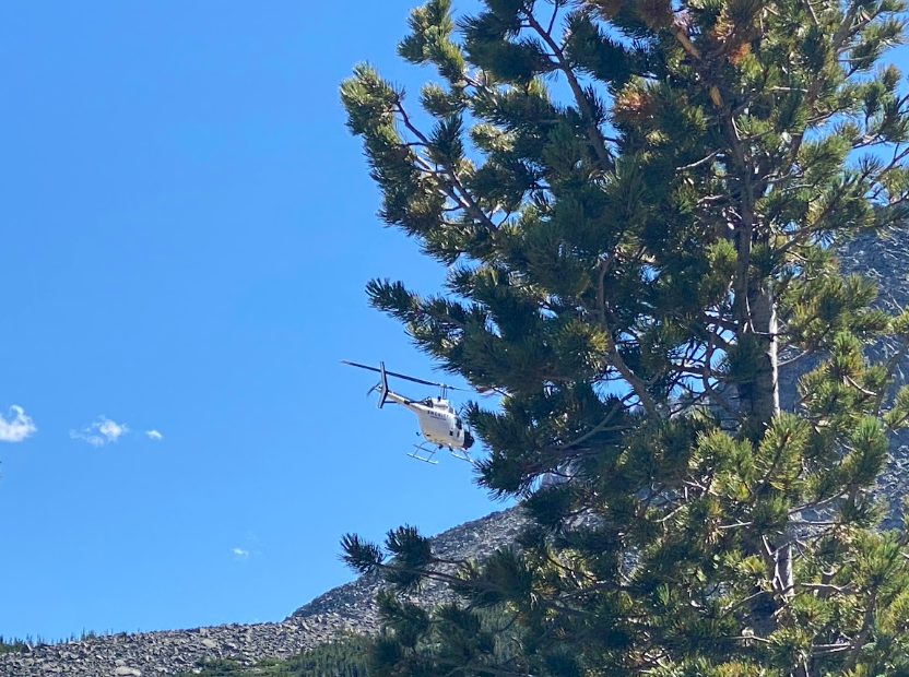
A Sheriff’s helicopter flew up to us as we began the rugged, steep descent to the main trail. It hovered over us then slid away, then came back to circle us a few times. WW and I were creeped out. We hadn’t seen another soul all day. Could this merely be a training session? Or was a fugitive on the loose?
Questions and confusion fell out of our mouths as we tried to make sense of what was happening. We then heard voices behind us. Two Search and Rescue personnel popped into view and apologized for the concern, asked if we had seen another hiker, and kept moving at a quick clip ahead of us citing a medical emergency. Unfortunately, the individual was in the direction of our exit and we had to pass by trying not to disturb the process.
We both found it odd that we had not heard any responses to our bear warning calls by the individual while we were turning toward the Sylvan Lake trail since we had been so close and could have helped. The encounter started my mind thinking about whether I would be useful as a member of the SAR team and whether that should be something I look into.
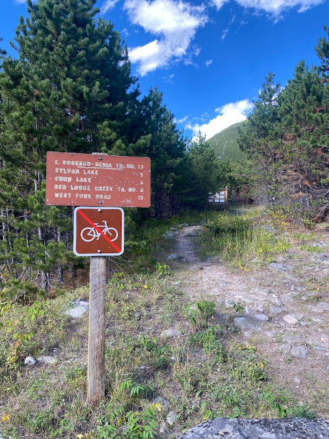
Anyway, the long rocky descent awaited our knees. The scenery across the East Rosebud included the Phantom Creek trail we had so enjoyed mere days ago! A full figure eight moment of glee. Oh yeah, and we made it just in time. Our ride arrived mere minutes after we walked out of the woods and snapped a pic of the trail sign at the Spread Creek trailhead.
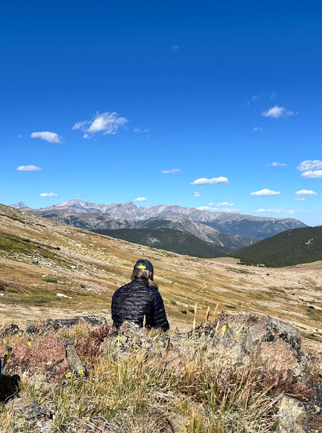
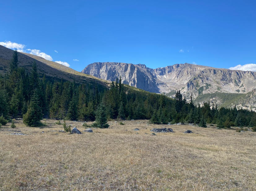
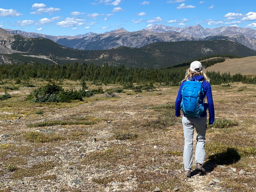
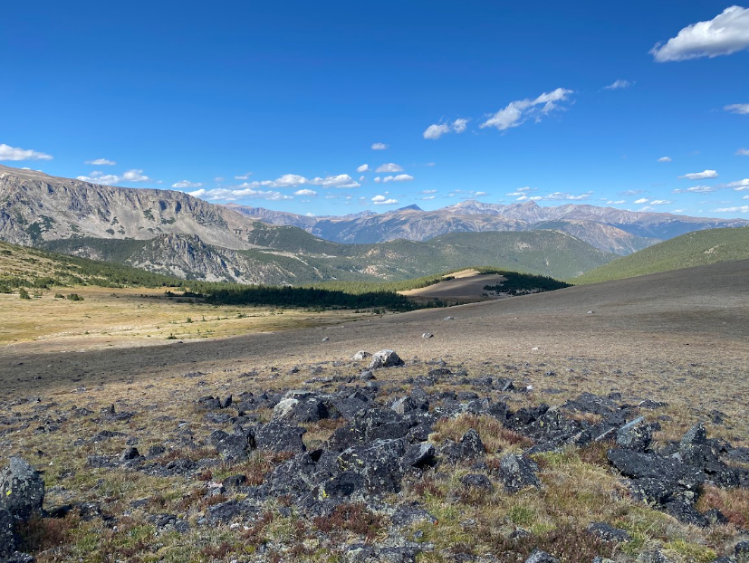
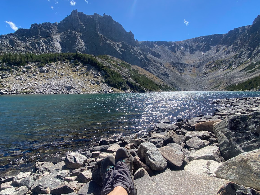
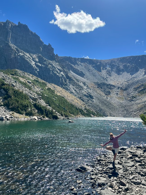
Sprite admiring East Rosebud or concentrating a bit too hard on lunch.
Just shy of 16 miles, this trail is highest on my recommendation list. In case you needed more suggestions to add to your own long list of hikes to try. ;-)