
Colorado Trail Woes
Not all thru hike trail experiences feel grand and glorious in action.
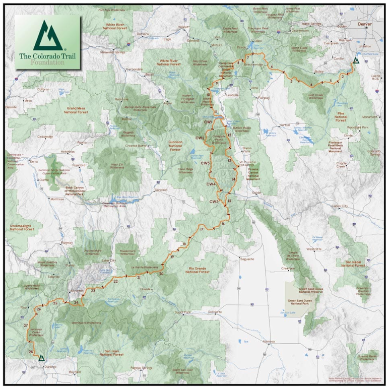
Map by The Colorado Trail Foundation of the 567-mile Colorado Trail that runs from Denver to Durango
segments
Colorado Trail South: Durango to Monarch
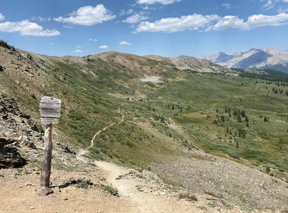
Colorado Trail: Collegiate Loop
Colorado Trail North: Monarch to Denver
The Colorado Trail Foundation breaks the segments into smaller chunks, 28 to be exact. Plus, five Collegiate West sections. Find more pertaining to each of these sections on the Segments of the CT page of their website. Since it’s been five years, I won’t have exact or even approximations of all our campsite stops along with mileage information but will highlight those that I do recall.
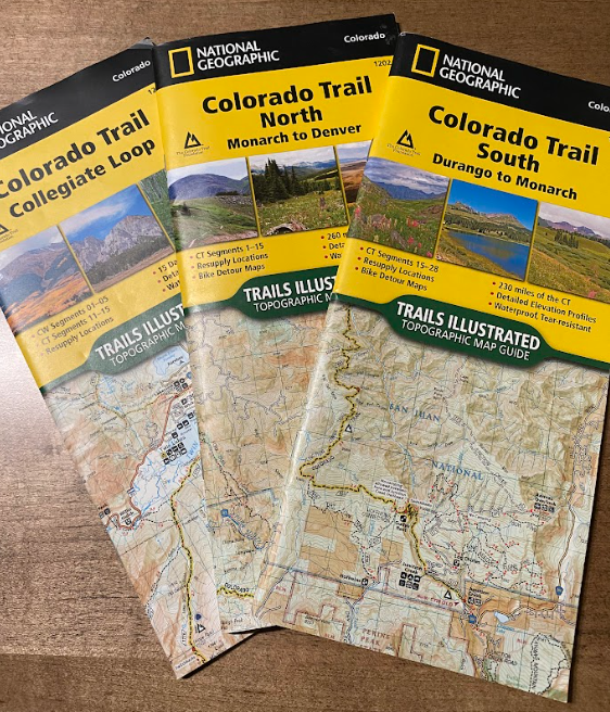
Trail Maps
The Nat Geo map books contain lots of useful info regarding resupply options, bike detours, trail details, elevation profiles, and more helpful hints.
Buckle up, Buttercup! You’re in for the long haul. ;-)
Our tentative plans to hike the Mount Blanc Trail downgraded to a decision to hike the Colorado Trail due to pandemic travel restrictions during the summer of 2020. Therefore, after our lucky run on the John Muir Trail (JMT) the previous summer, we opted to again thru hike opposite of common traffic. NOBO or bust!
We made this decision because I thought it would be easier to leave a car in Denver and rent one to drive down to Durango to start the Colorado Trail rather than getting a ride back to Denver. Again, like the JMT, this put us in a beginning-at-higher-elevations and hiking more strenuous sections kinda situation. We were not deterred. Should we have been? Yes.
Unlike the JMT experience, I now lived at sea level and despite my many loopings of town everyday during the Covid shutdown, I was woefully unprepared. The shutdown in WA state also included the closing of gates to trails barring access to places that kept people sane and healthy. Nothing more needs to be noted about that, we are moving on.
It does mean, my preparation for elevation did not happen as needed. I didn’t think that would matter so much at the time though. Ahh, to still think of yourself as young and invincible…sigh.
Anyway, once we made that decision, I began the task of figuring out resupply locations. I wrote each option out that seemed like the right mileage for us based on our experience on the JMT. Then, we got packin’! I know you want the list of our food items so I’ll generalize: we packed a lot of oatmeal for breakfast that we didn’t eat and ended up mailing back home. Hint: Pop-tarts and Cliff bars are faster to eat each morn.
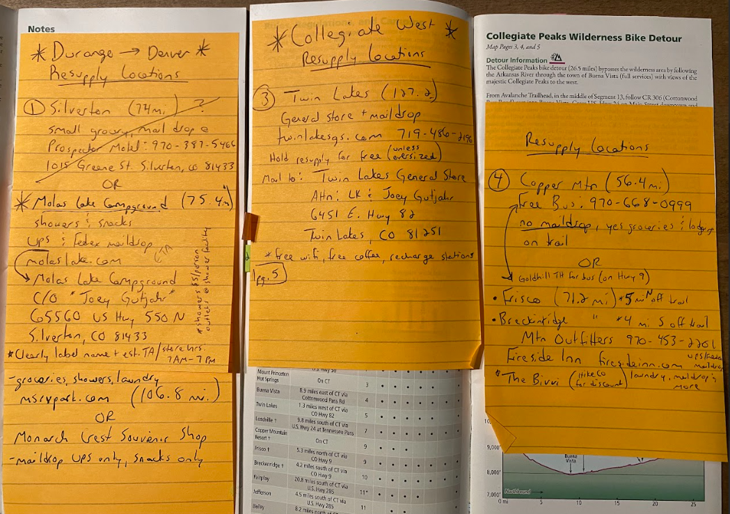
My handy dandy notes
The summer of 2020 stuck us with lots of challenges, in traveling and in the general business of living. TAJ renewed his driver’s license by mail and WA state did not send out new versions choosing to simply ignore the expiration date issue for those planning to travel out of the state. Renting a car didn’t go as planned due to this factor. Fortunately, he had me to trust in the renting task and driving us down to Durango. No biggie, easy fix. Frustrating sure, but nothing could dampen our ability to get on some trails! And dropping the truck off at a storage facility went smoothly so no complaints overall about the logistics of the trek. So far (yes, that’s foreshadowing).
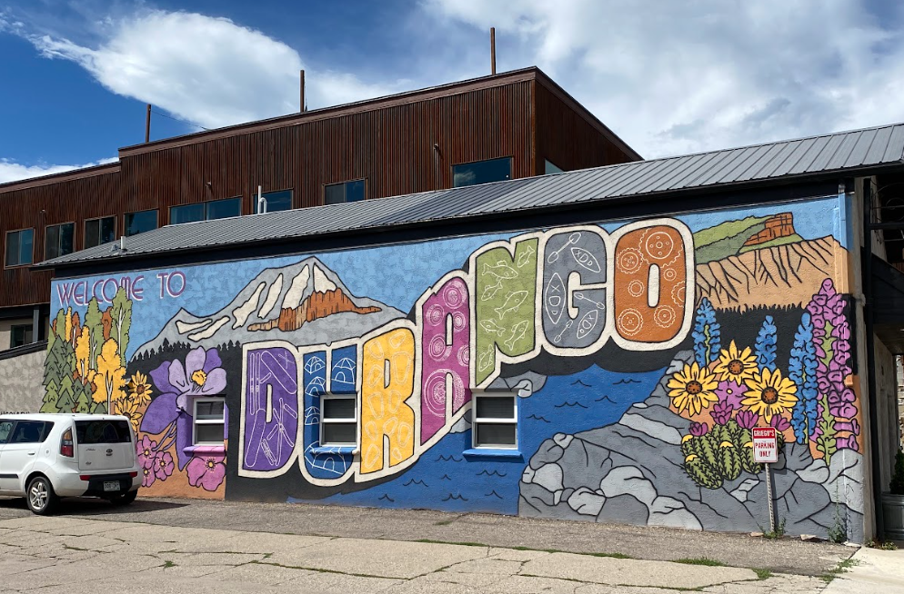
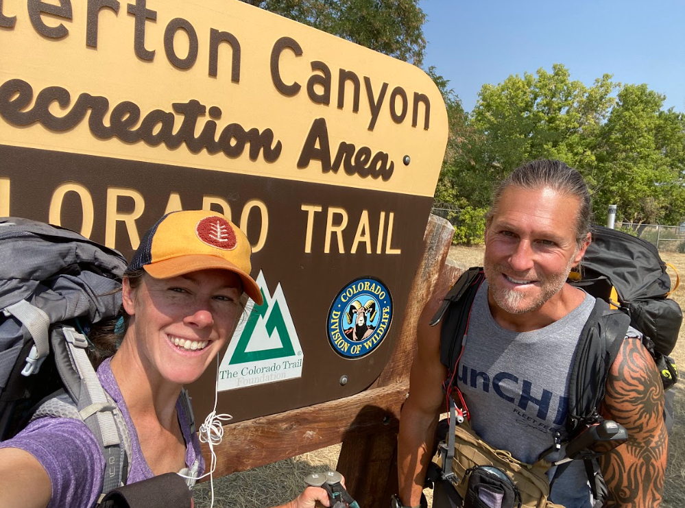
After a lovely evening exploring downtown Durango, we prepped our ride to Junction Creek Trailhead and settled into bed early. Oh, I should note the fun rooftop restaurant we enjoyed dinner at! Great ambience, highly recommend. I don’t remember the name of the place.
DAY one
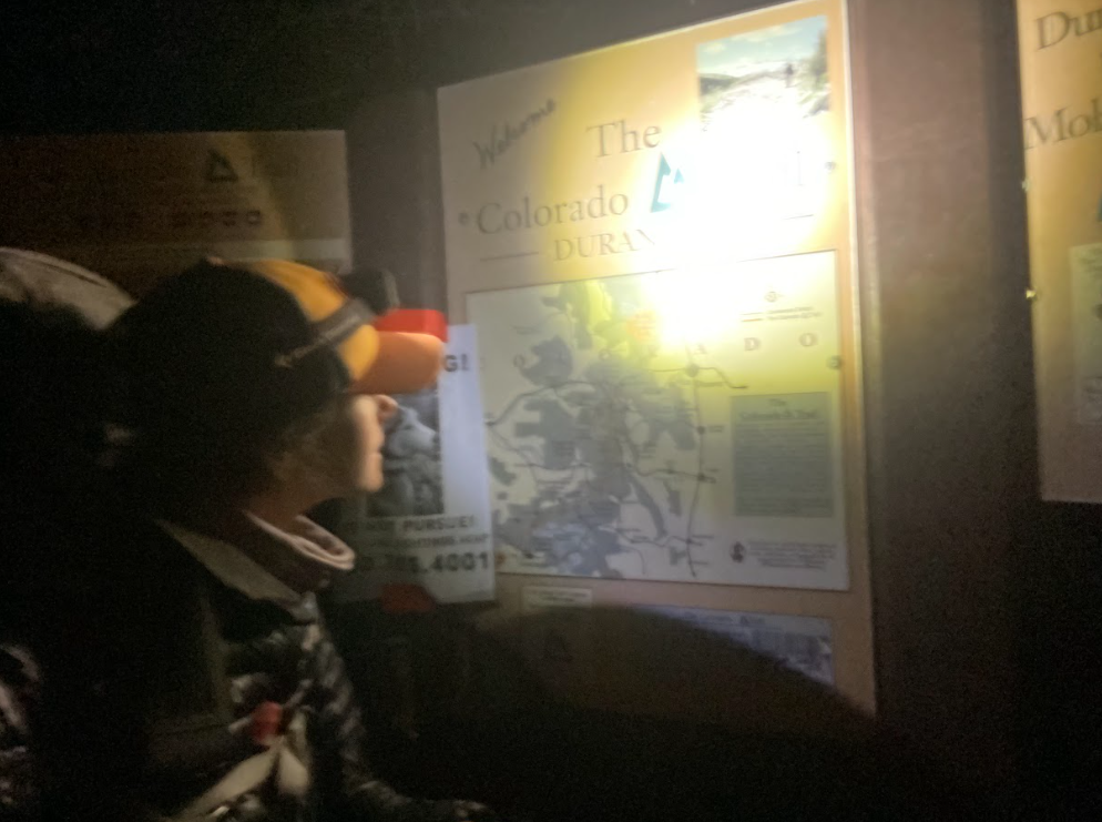
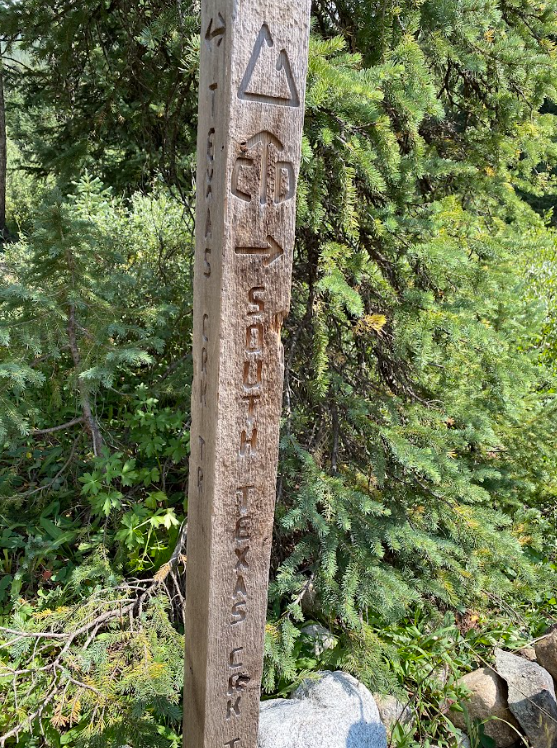
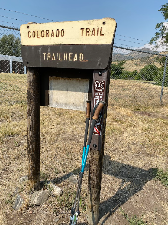
Sprite gleaning key info at the Junction Creek trailhead at the start to the big adventure.
We awake, dress, and are ready for the van driver when he arrives; then, we hastily toss our packs in the back storage area and set out to the trail. As we approach the trailhead, a fox crosses the road in front of the van. This feels auspicious to me. As if Holly, my deceased pup, arrived to guide us in spirit.
The first day is always easy, the miles seemingly disappearing quickly, the exhilaration of hiking somewhere new keeping spirits high along with the altitude. After our 20 miles of climbing we found a small nook just off the trail to setup camp for the night. My socks had been bothering me but not to the point of what I discovered when I took my boots off. Blisters?! Uh-oh. I treated them and didn’t think much about it as we ate and tucked in for the night.
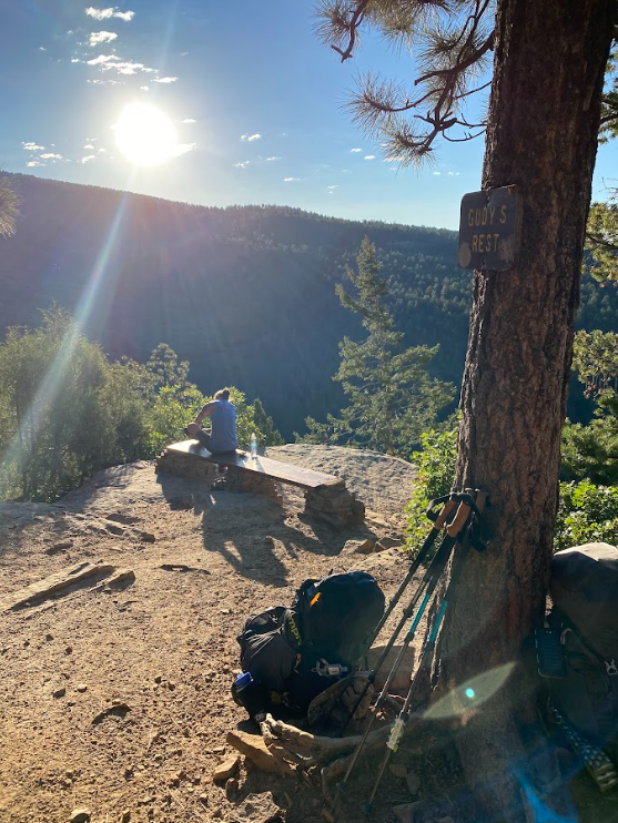
Gudy’s Rest
TAJ checks his shoe situation at our first rest stop of the day.
The clouds building in the distance made me nervous for storms to catch us on the trail.
Day two, three, four?
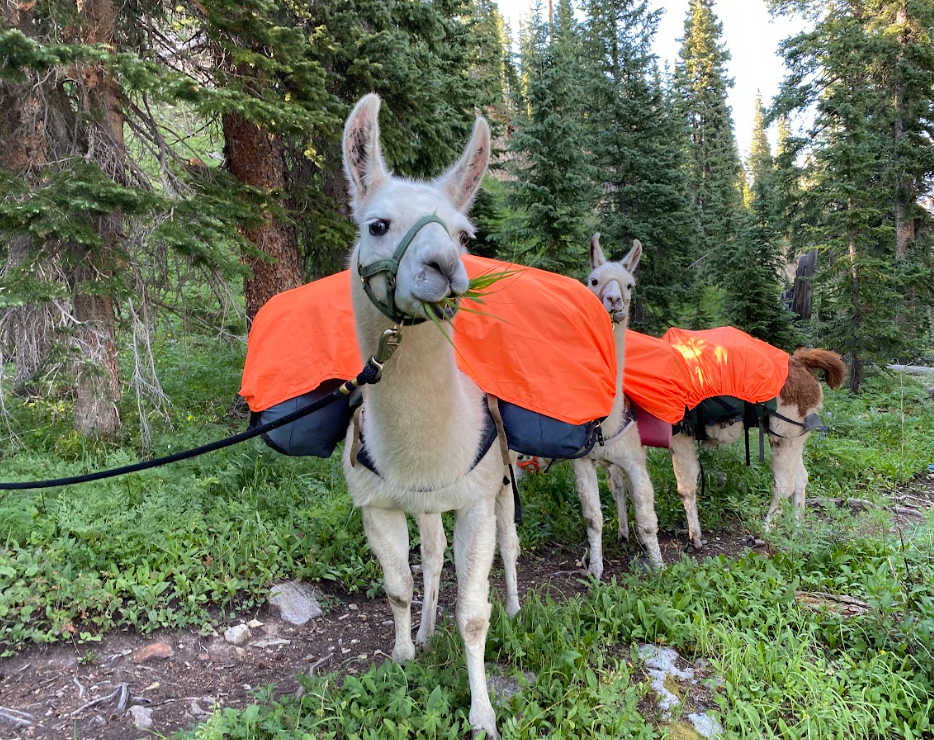
Llamas helped bolster my spirits for approximately 10 minutes.
The only day I’m sure of is the pain in my feet on the second day. The blisters were enormous! And the rocky forest service roads certainly didn’t help ease the gnawing pain. Advil merely distracted from the pain for short bursts of time. By the time I stopped to pet the llamas, I was ready to be done with the day even though I knew I had 5-7 miles more at least.
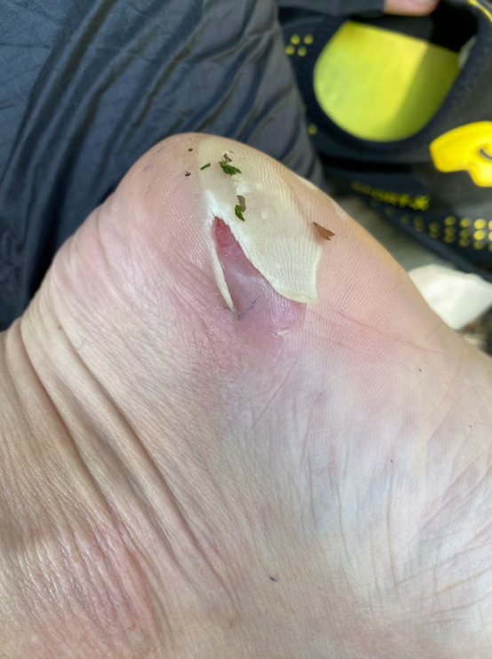
Blisters:
Preventative measures for blistered feet are best since once blisters appear, it’s nearly impossible to get them well and still walk on them every day.
Stopping to eat dinner made me even further behind. Eventually, TAJ came back for me with a ferocity that surprised me. Concerned at how long it was taking me to get to the location he plotted for our camp, he almost called search and rescue. I scoffed. Words exchanged between us. I sulked the mile and a half of following him UPHILL to his pack left in a clearing.
From that moment he refused to untether from me and kept the same trekking pace I set. Every time we camped by a road or crossed a major road I threatened to flag down a car to take me far ahead to an oasis where I could read, recover, and await TAJ’s arrival. Meanwhile, my feet worsened and alternating acetaminophen with ibuprofen did little to alleviate the pain. We humans don’t like to admit defeat or weakness but I will openly admit that I lived in misery along the Colorado Trail.
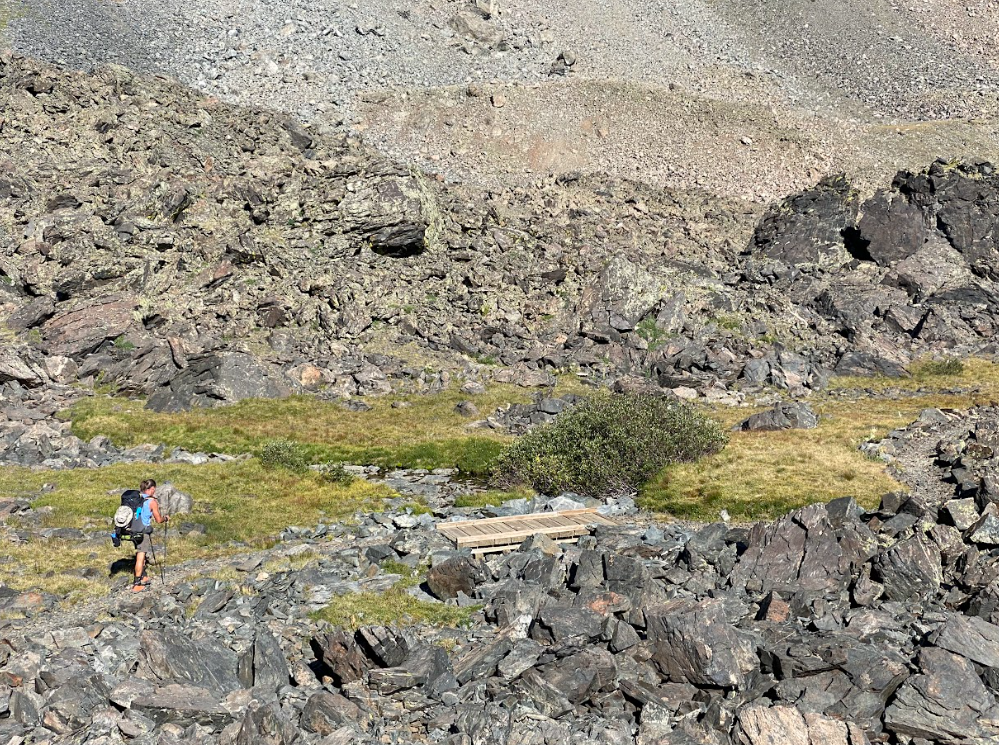
The views didn’t distract my pain either since 95% of the trail is boring forest service roads rolling through forests. Where were the mountain vistas? I wondered. Since I faired so poorly I requested stopping early despite TAJ’s obvious annoyance with me and that this would throw off our resupply pick up timing.
Molas Lake Campground
Eventually, we made it to Molas Lake. Discovering that we would have needed to wait two days for our resupply to be picked up on a weekday made it ok to have taken the extra time to recover. Lucky me. Since we suddenly found spare time, we found a ride into Silverton and explored the old town. We also held high hopes for the recovery of my feet during this sojourn.
Silverton to lake city
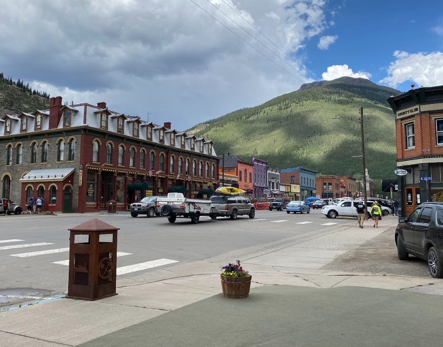
Silverton, CO
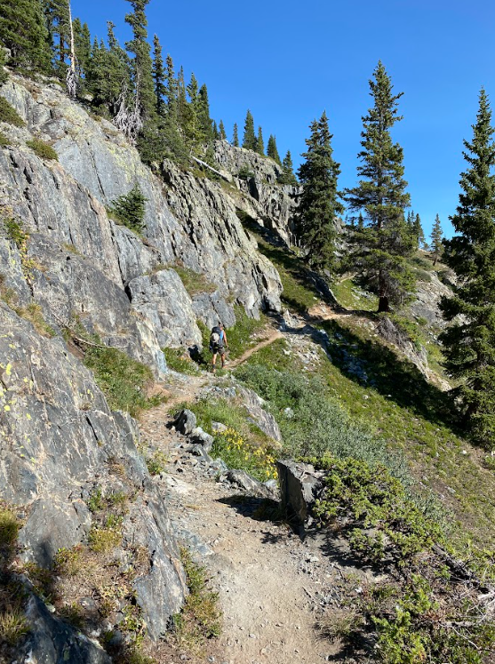
Here is where I drop the organization of this tale by days and switch to simply offering waypoints of vague recollection. I won’t elongate this tale any further with a breakdown of all 30 days we spent on the trail. You’re welcome. Also, I refuse to break this into a two-parter so I’ll speed up my telling of the experience and begin to let pictures speak more loudly. Or lack of images, really since a lot of the trail bored me to tears. Oh wait, that was my feet.
Actually, is this where I inform you how much I disliked the Colorado Trail? How this particular blog post sat around waiting until now because I didn’t want to divulge the gruesome details? How I struggled to have anything good to say so I remained silent hoping not to seem spoiled, rude, or unappreciative of the opportunity to hike for a month. However, our comedy of errors begins here and I consider it quite fitting to delve into how I really felt about this excursion.
The Spring melt brought many avalanches to the San Juan Mountains that year. Rumors guided us to skip ahead some 16 miles to avoid crawling over a multitude of blow-downs, or massive tree trunks laying across the trail. Once we combed through our resupply and reorganized our packs, we scheduled a ride to the trailhead via our hotel. Most hotels in Silverton cater to the adventurous crowd and are able to accommodate these needs of hikers.
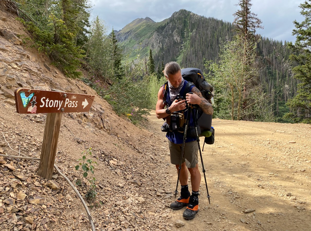
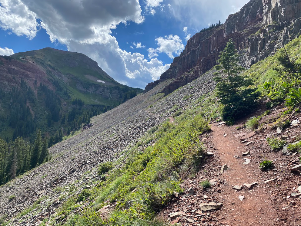
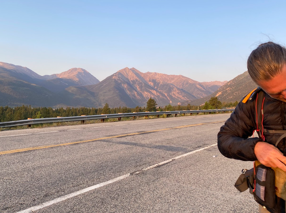
The only chance to collect images was when TAJ paused to check his gear.
With a fresh resupply of food my pack weighed more heavily than I was used to and we began heading up to the highest point of the trail. Fortunately, a couple from Texas in a side x side took pity on me that first day up the fire road. Once we began on the trail there were warnings for sheep and their Great Pyrenees protectors. When one ran up to me barking in my face I simply stated, “yeah, bring it. I can’t breathe anyway.” Somehow TAJ got the dog to lose interest in us and we continued up. The sheep didn’t even look our way.
The comedy of errors continued the following day when I fell flat on my face walking downhill along scree. I fall a lot and share those stories almost as often so you’ve probably heard this one from me before because it just so happens to be my favorite. My poles flung outwards as my body fell in a true sprawl. TAJ calmly leaned over to grab the hook on the top of my pack and picked me up like I was a toddler. Cartoon style. Don’t worry, only my knee was skinned and I duct taped my pants back together.
Next, a day or two later, I really struggled to climb the final push to the highest point on the trail. TAJ begrudgingly took my resupply food and stuffed it in his pack reminding me that I had previously conquered harder feats. Somehow I still felt as if I were carrying the weight of the world though. Turns out I started my period the following day. Not at a convenient time though.
I squatted behind a medium sized rock in an open high alpine meadow pretending like I couldn’t be seen from the trail in either direction. At least I understood why I struggled up to this point and felt relief in knowing reasons existed for my body’s resistance to physical strain. We decided to stop in Lake City for another reprieve.
lake city to monarch Pass
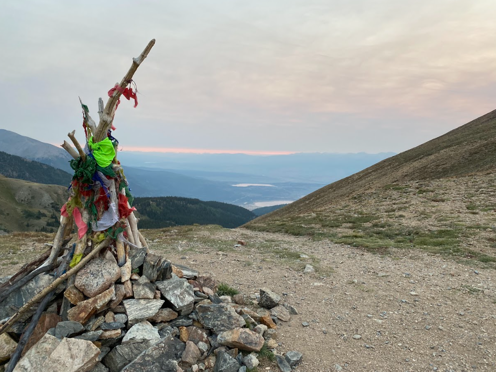
A picture that didn’t make it into the memory bank!
I adore Lake City! There’s a decent Texas Bar-b-que joint and a great outdoor store and a fun vibe. Too much Texas for my tasted but a fun adventure life kinda town. Anyway, some kind mountain bikers pulled over to let us ride their tail gate into town. We checked the store for fuel, stayed the night, then headed on.
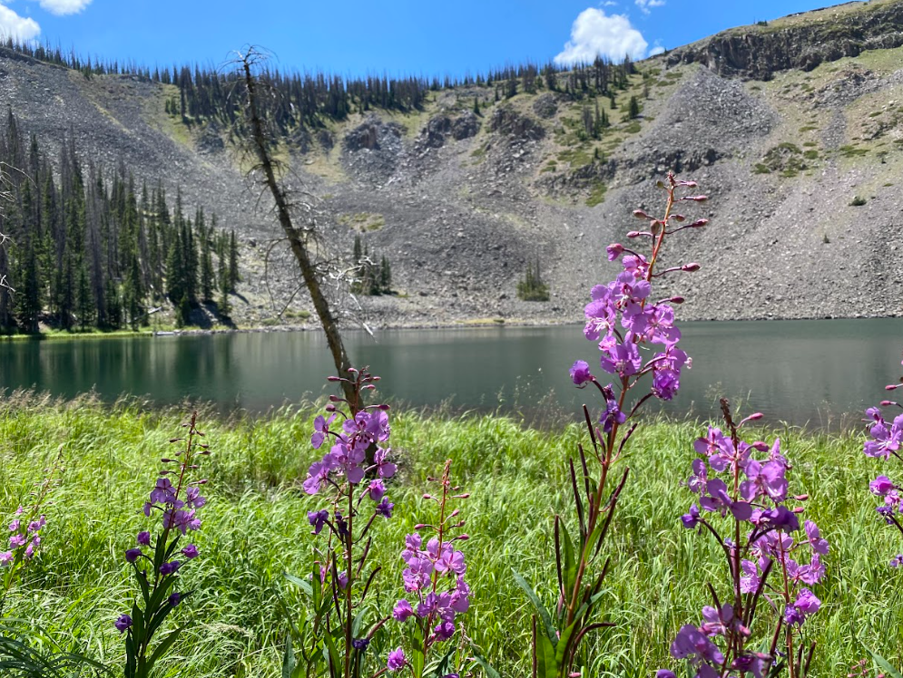
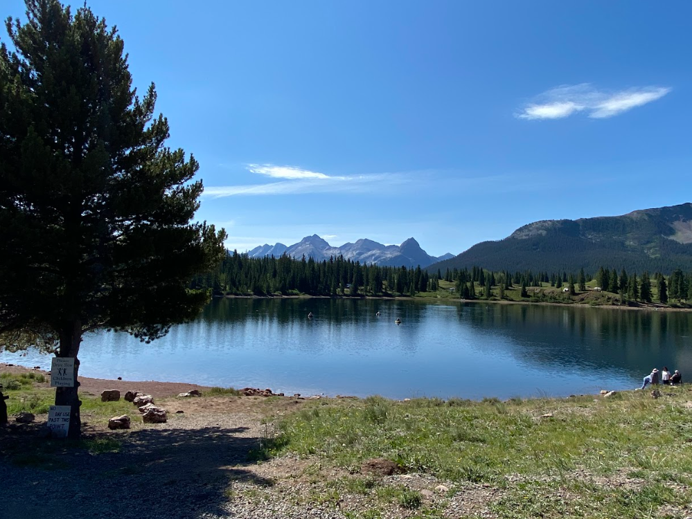
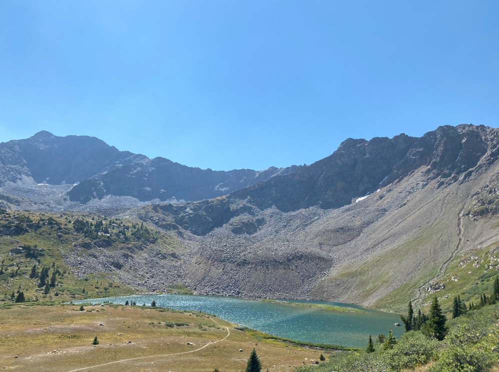
Possibly Rae Lake?
I recall very few lakes along the trail; another reason I may not care for this particular hike.
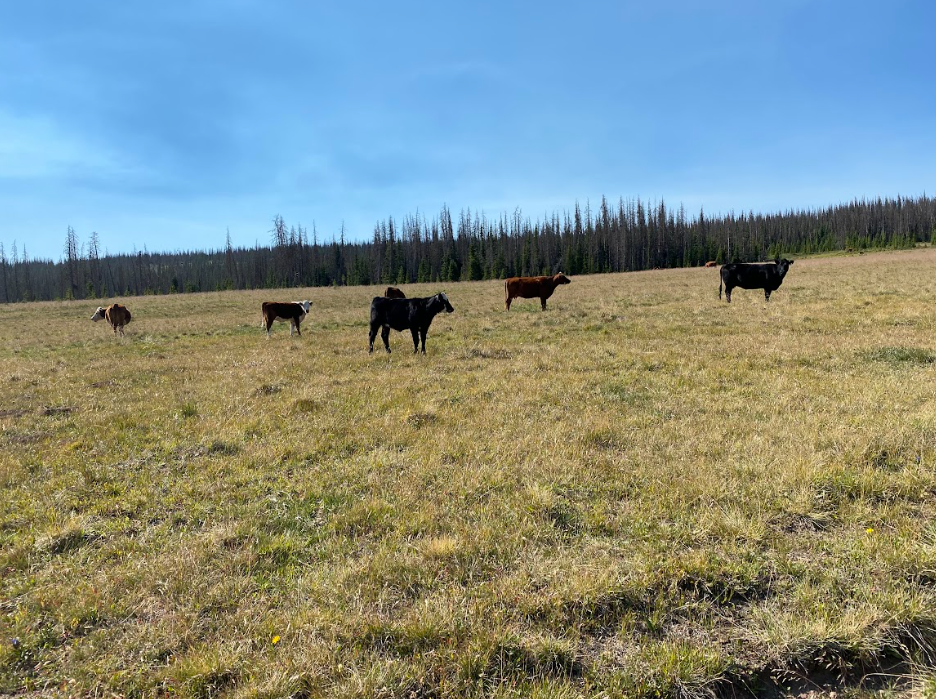
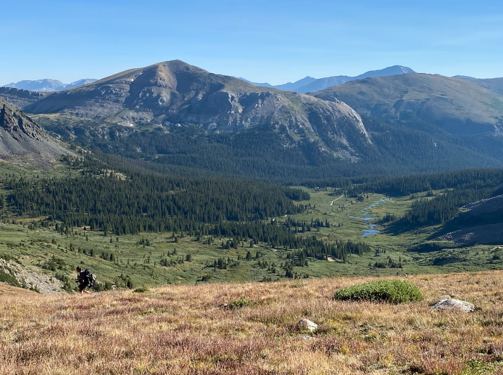
I don’t remember a thing between Lake City and Monarch Pass. It was probably all fire road and forest. Oh wait, there was a field of cows. And my pictures contain a lake photo. This section could probably be skipped if you’re considering this trail.
Trail Fodder
The CO Trail thru-hiker Facebook page was ripe with drama, including the hikers scared of the cows on the trail.
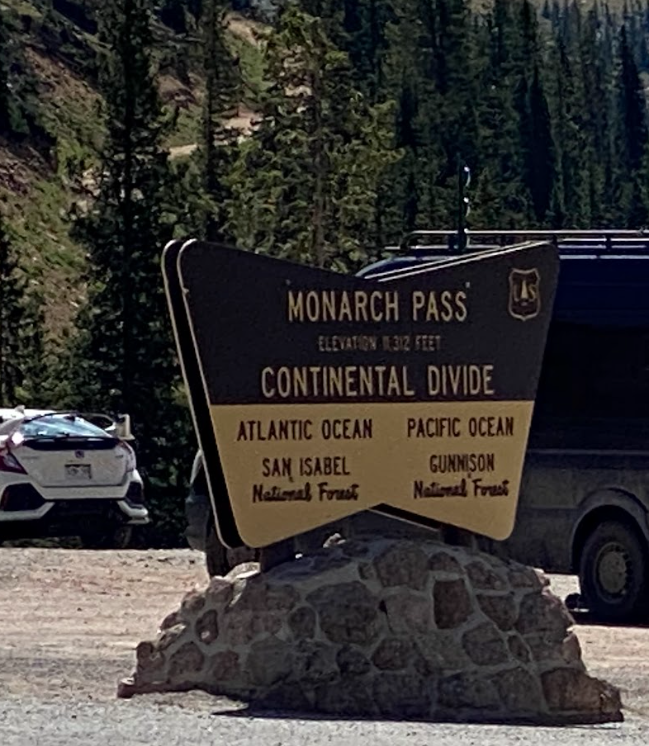
Monarch Pass
There’s a store with a huge parking lot at this notable marker. Despite all the tourists, it was impossible to hitch a ride so we walked along the dangerous road.
Salida to Twin lakes
(Collegiate West)
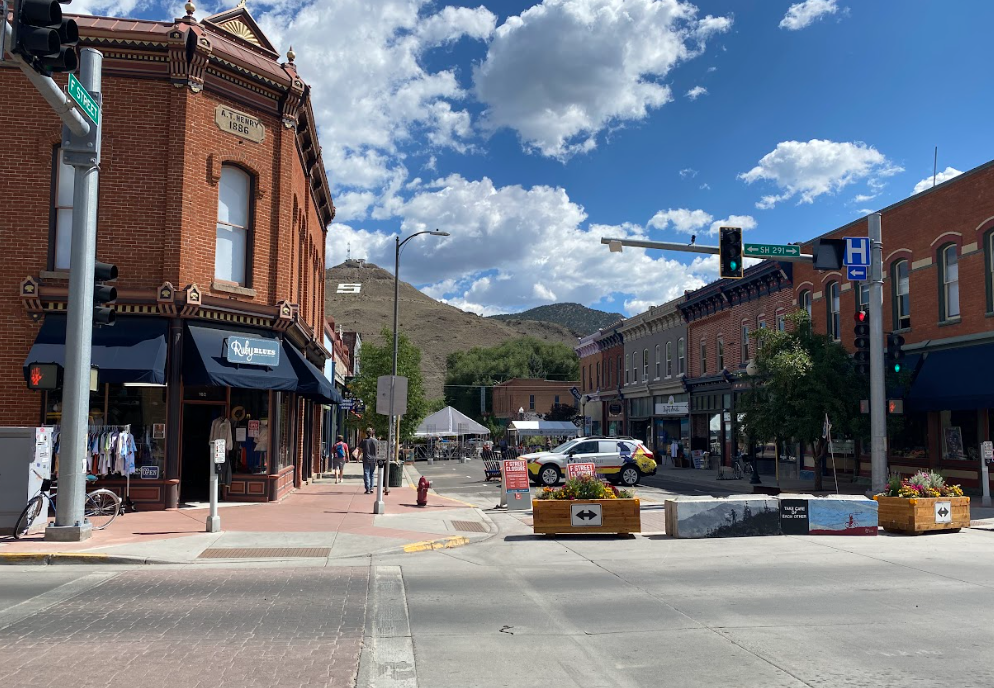
Salida, CO
When planning our resupply for this area, I took extra caution to read the notes about a confusing campground situation and to read/follow signs with care. I thoroughly memorized the route to get to the proper RV campsite rather than fall into the pit of hiking extra mileage to discover a closed campground with a similar name as the intended destination.
My confidence to manage figuring out the necessary turns in action on location felt strong. After walking along the tight shoulder of a perilous road I led us straight to the first camp we came upon. Unfortunately, it happened to be a few miles up a fire road, deserted, and obviously closed. Soooo, the wrong one. Luck prevailed though because as we walked back out, a car rolled toward us and we flagged them down. The guys in the car kindly drove us to the correct RV campsite a few miles away before continuing their attempt to find an old abandoned mine in the area to explore. Thank you Trail Angels!
Once we arrived, picked up our resupply package, and found our campsite to be a direct hit to the sun TAJ began calling for a cab to pick us up and deposit us in Salida along with booking a hotel. At the time I was surprised. Afterwards, I found myself deeply grateful. Salida became a turning point for me. We stopped in the outdoor store and I invested in Superfeet supports for my boots. This action shortened the healing time for my blisters that I still suffered from constantly.
One odd occurrence to mention while we rested at the hotel: my legs swelled. The elevation interchanges and hydration, or lack thereof, played a role in this but it was the weirdest experience to see my legs look like sausages. It’s never happened before or since. I began to consider this trail cursed.
Finally catching my stride and relieved to conclude the comedy of errors, we moved more quickly, easily, efficiently. The more exciting views helped too. We rolled into Twin Lakes with calmer, more pleasant vibes. I really enjoyed Twin Lakes for all the atmosphere and adventure it exudes. Maybe someday I’ll get back out there to kayak. If you visit, waiting in line for coffee and breakfast from the trailer is worth it!
If you don’t have the kind of time it takes to hike the entirety of the Colorado Trail (one full month), then I suggest hiking the Collegiate Loop instead. Actually, I recall stating every morning that’s precisely what we should have done. The scenery sparkled. The hiking reigned supreme. It was the most enjoyable section of the trail for me.
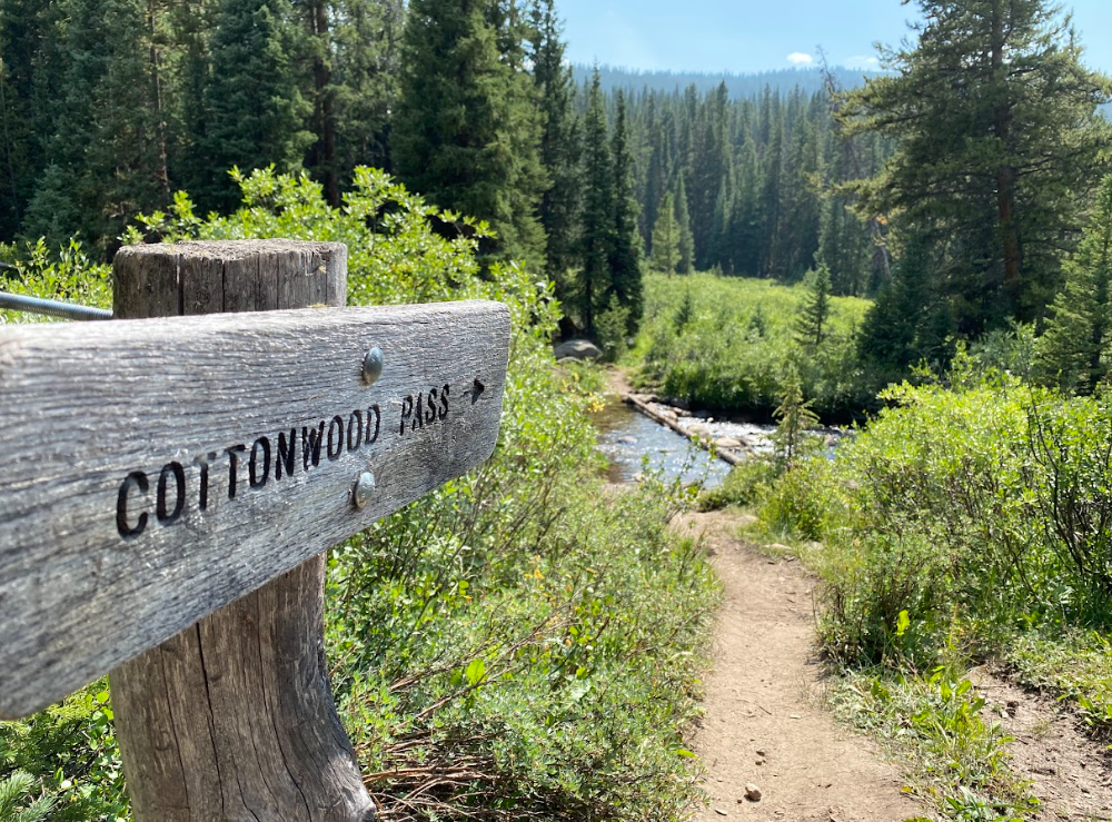
Twin lakes to Copper Mountain
TAJ starts his music or audiobook when leaving Twin Lakes
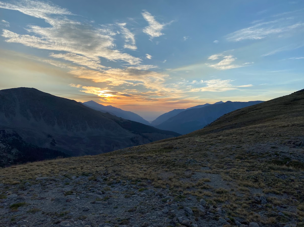
Sunrise in Twin Lakes
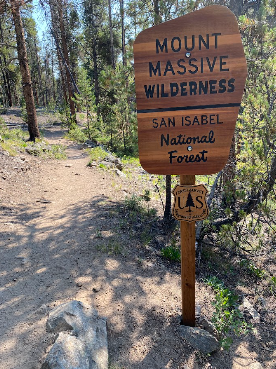
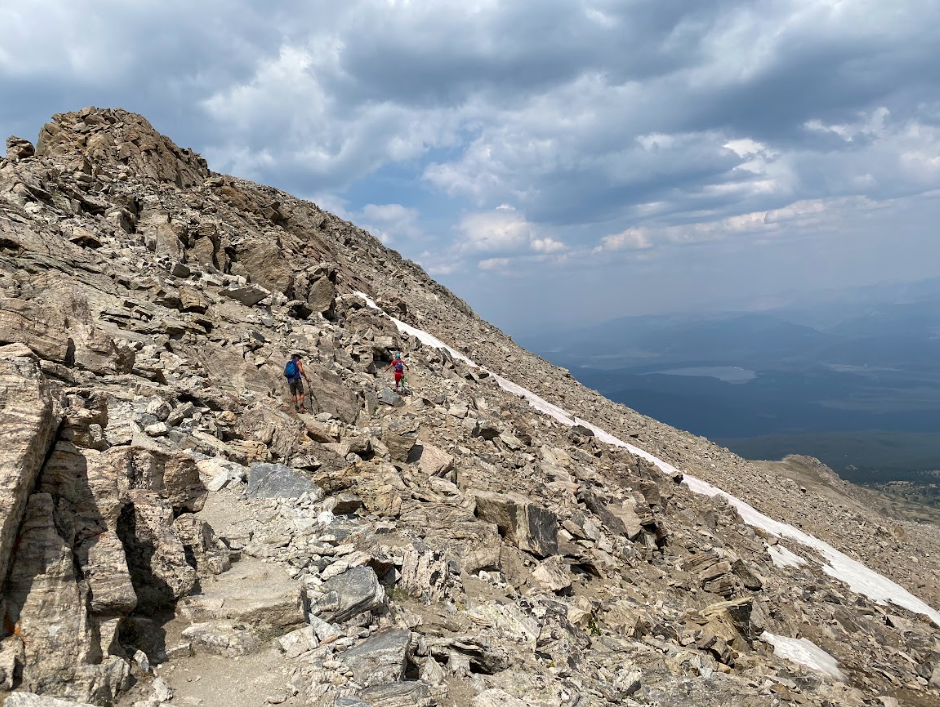
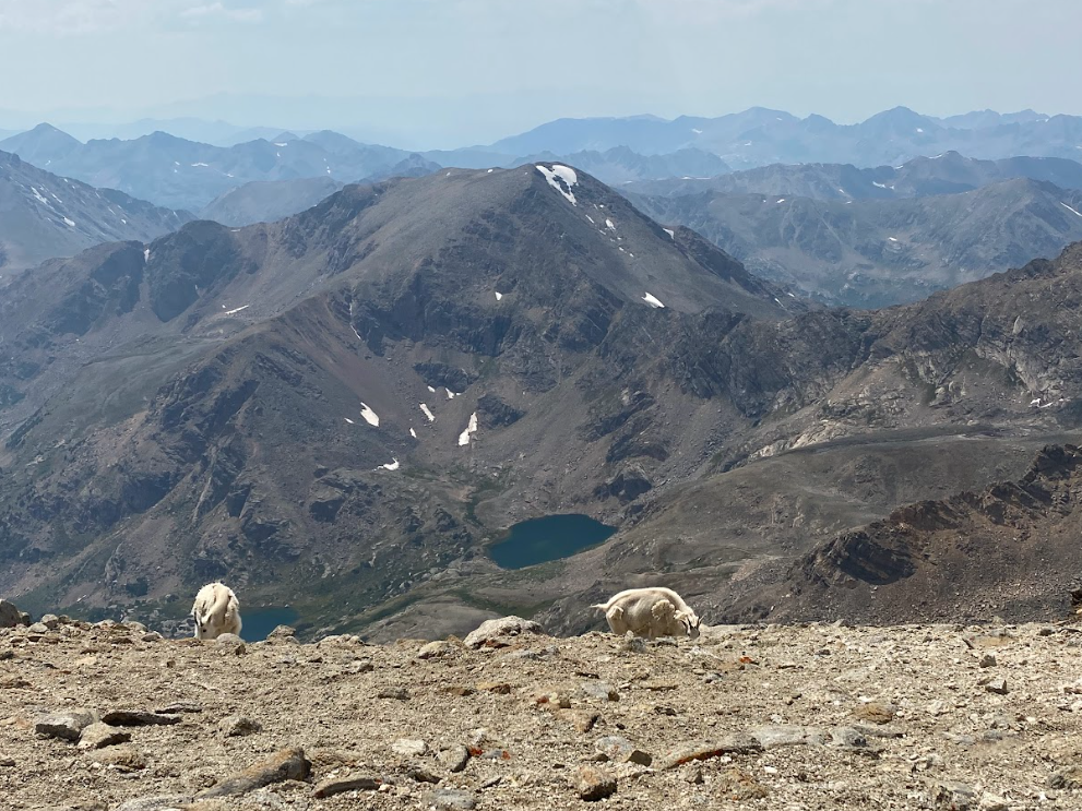
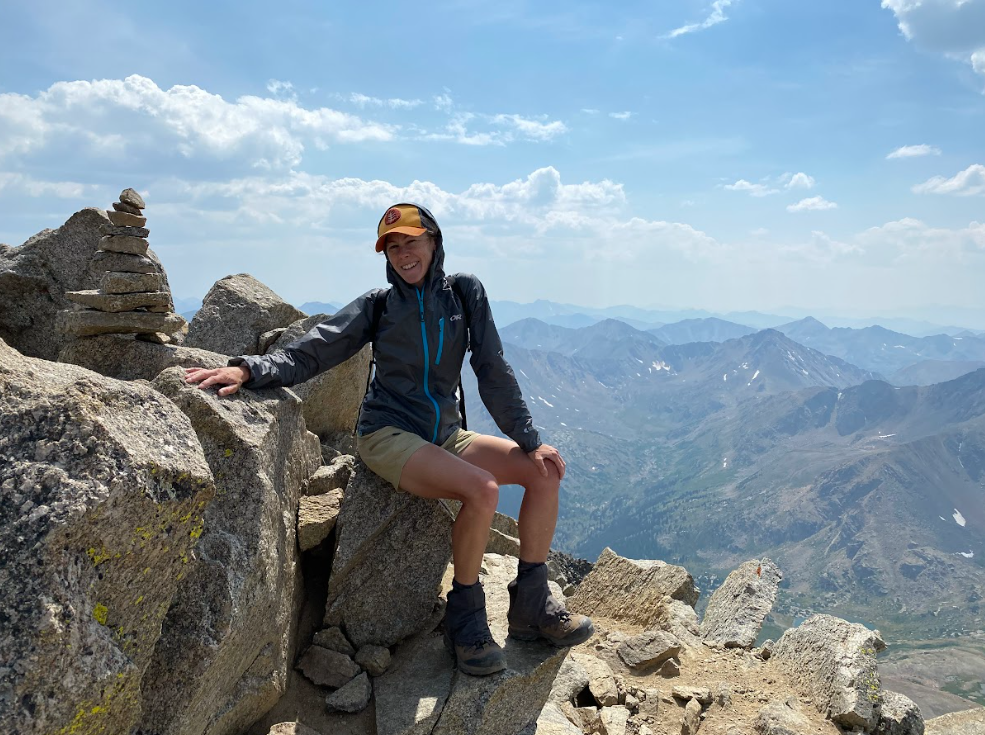
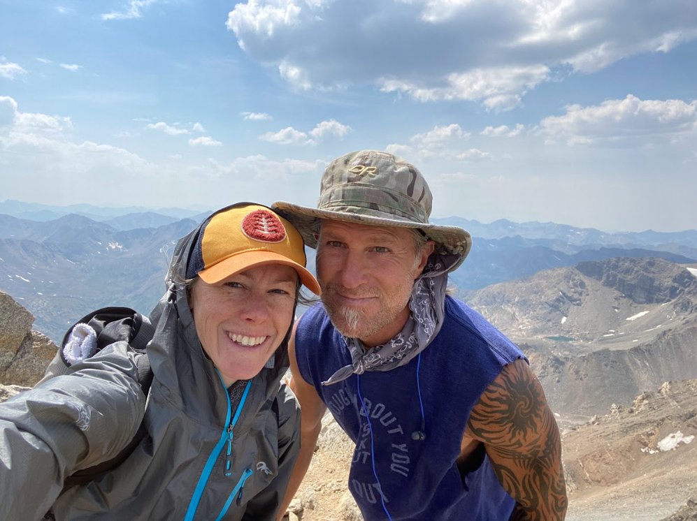
Heading north out of Twin Lakes and into familiar territory, I felt strong and ready to finally climb some 14ers (mountains that sit above 14,000 feet elevation) that happened to parallel the trail. We camped at the base of the trail to Mount Massive and spent the next day enjoying the climb with light packs, views, and smiles at a leisurely pace. In addition, we ran into some mountain goats and chatted with a friendly hiker on the summit. Our moods bolstered by the experience, we continued on towards Denver.
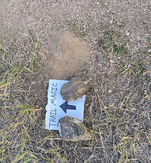
Trail Magic
Trail Angels often leave water, food, and other hiker friendly treats at trailheads.
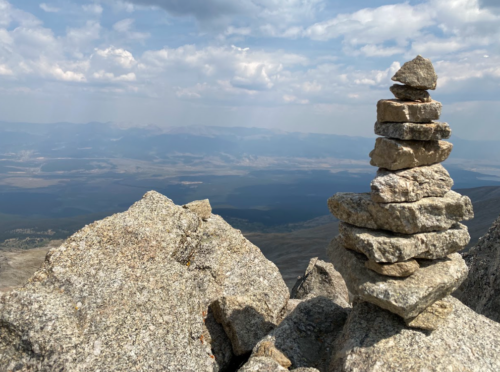
+ side quest: Mount Massive (14,421 ft)
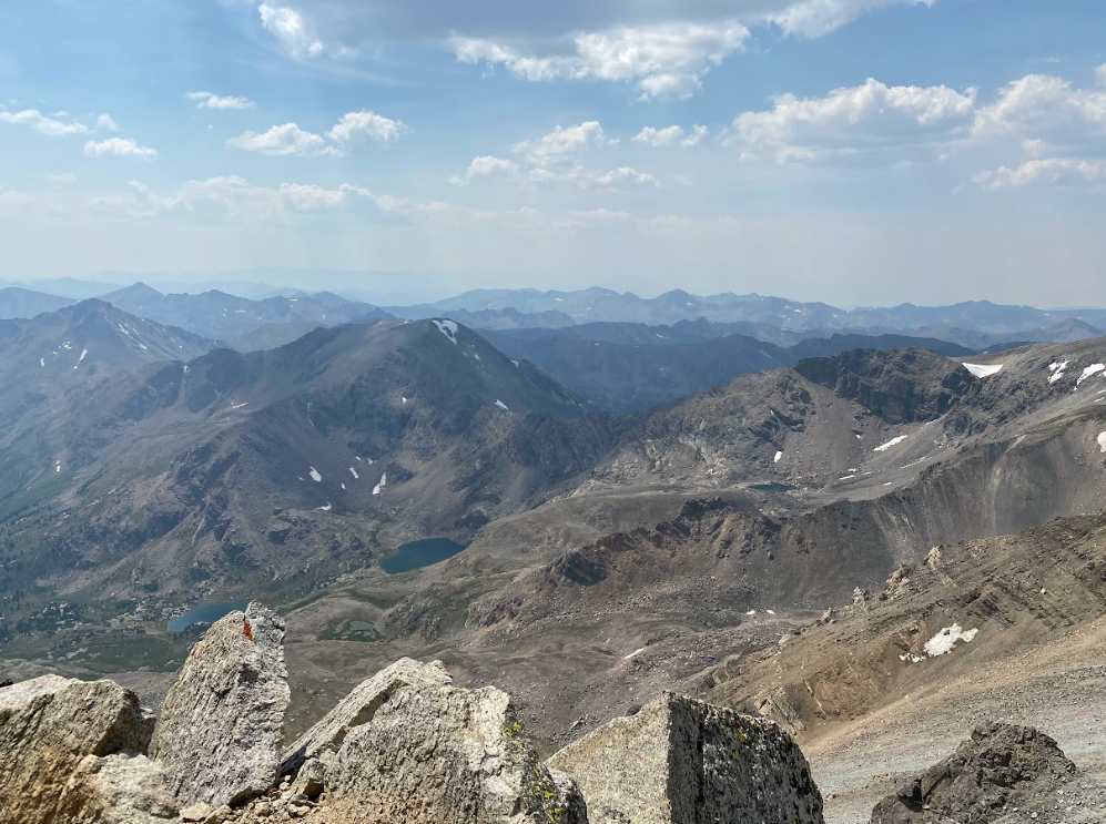
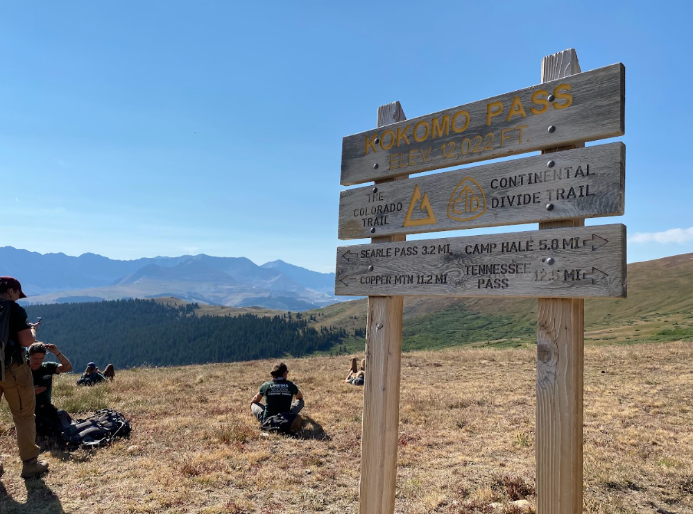
I don’t recall much else through this section of the Colorado Trail other than the excitement of climbing Mount Massive. There happened to be a trail crew working on top of Kokomo Pass and I do remember being shocked at walking under the roller coaster at Copper Mountain ski resort. The amount of people out and about felt staggering.
Then, our final descent to the road with a very specific bus stop to ride into Frisco came easily. A gaggle of ladies stopped TAJ along the trail to chat and flirt while he sweated about making the bus on time. Don’t worry we made it and Frisco was more than I could have dreamed it would be.
Frisco to denver
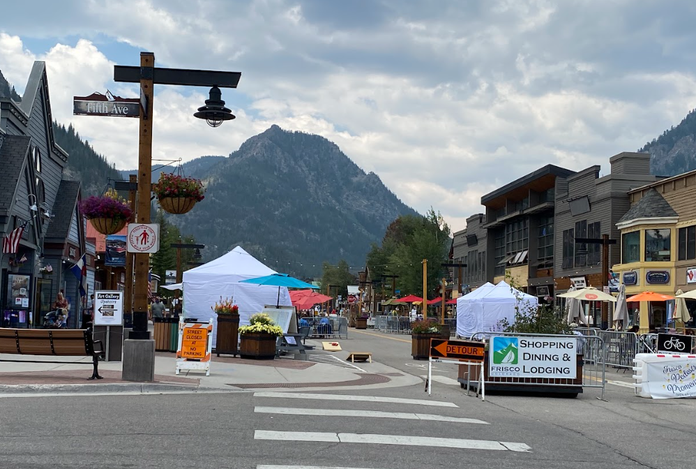
Frisco, CO
I scoured the local residential listings while in Frisco because it seemed like a quaint, perfect option for us to move to when TAJ retired in a few years. We perused the shops and dined outdoors in warm sunshine + a cool breeze. I especially approve of their bookstore in case you’re curious. Even with a lighter pack and only a few more days left on the trail, I wisely did not purchase any books. sighhh
One store displayed Christmas trinkets so I bought TAJ an ornament of a slice of beetle kill pine with a hummingbird and the word Frisco burned into it. That Christmas when he unwrapped the gift he looked at me mesmerized by the feat of carrying it in my pack to Denver. Or maybe from my ability to keep a secret. Either way it’s a fun memory.
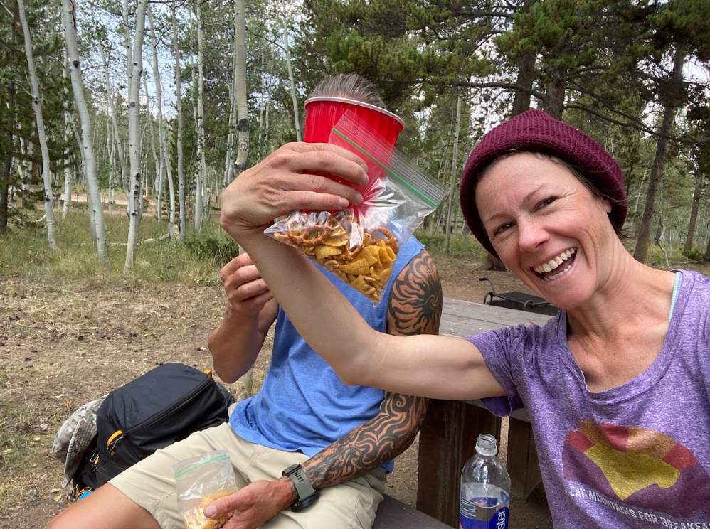
Anyway, we pressed onward. The final days burn brightest in my memory. The couple on horseback that laughed about how my “large” pack seemed to be bigger than me even though it was completely empty and the lightest of the entire trek. More trail angels situated themselves along the trail with a cooler full of snacks and drinks for hikers. TAJ and I indulged in their offerings of goldfish crackers and lemonade.
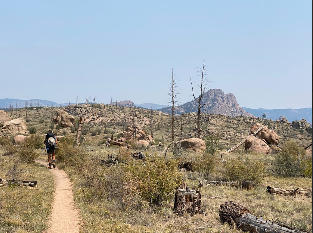
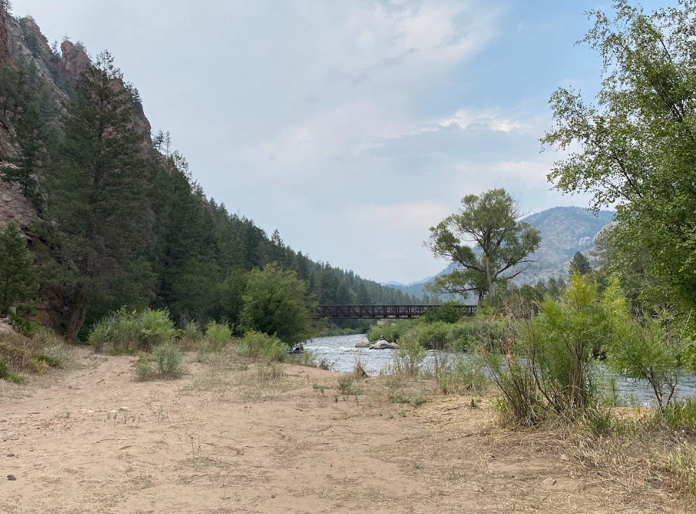
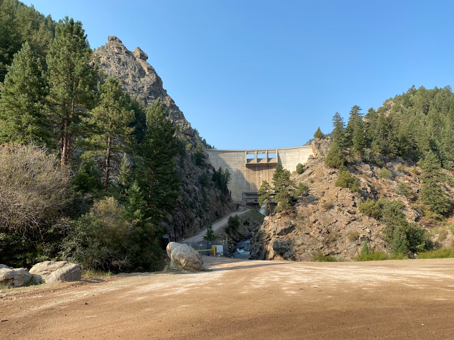
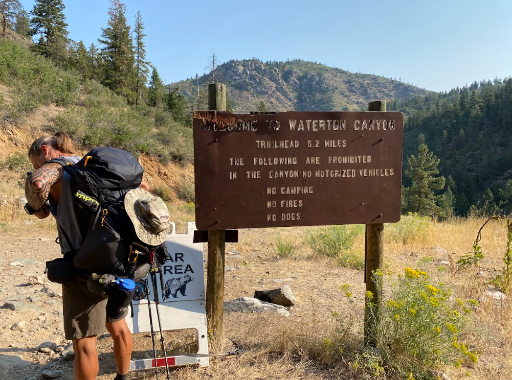
I remember, too, how we camped along the Platt River and a fox walked right by us on our last morning, stopping to turn and nod before casually walking away. Another Holly sighting. How we knew the stretch without water would be the hottest and we would need to stop at the fire station for lunch to refill our packs’ bladders from the hose outside the building. How scorching hot the openness felt and the terrain completely different than any we encountered thus far. How the blacktop down Waterton Canyon felt impossibly long and boring causing me to understand why most hikers opt to get that section over with first.
When we reached the final trailhead our elation took notice of a gentleman who leaned out his truck window to congratulate us. Pictures! We took multiple photos with the sign and I felt tremendous relief. Finally, we called a cab to work through the final logistics of getting to our truck and heading home.
spare photos + fun
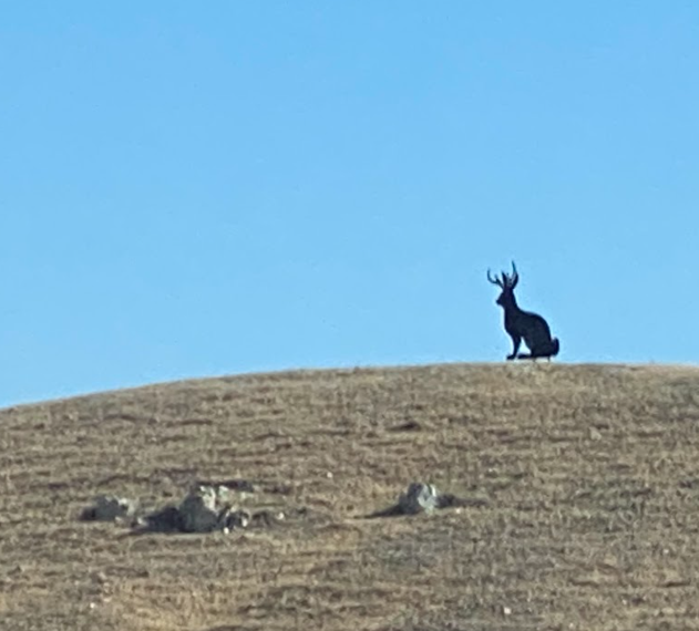
Jackelope
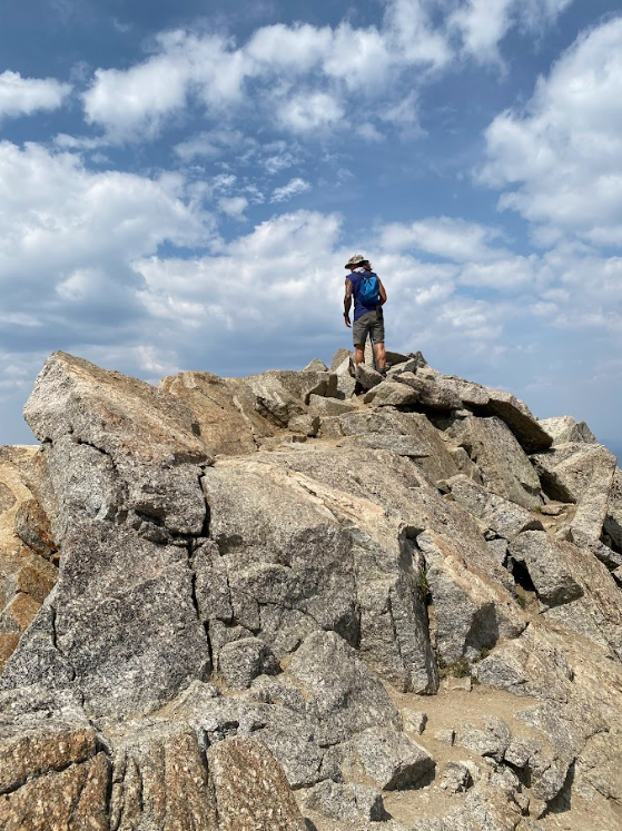
TAJ in action along the CO Trail!
You want my overall review? I’ve stated many times how I do not recommend the Colorado Trail to anyone wishing to complete a thru-hike. However, I also make sure to mention that TAJ and I experienced this trek after we completed the John Muir Trail, which is the most epic trail in America. The Colorado Trail didn’t stand a chance against the JMT.
In addition, my blister issue compounded with the lengthy portions on fire roads made the majority of the experience misery for me. Despite all of this and with the fortune of hindsight, I appreciate the opportunity to have studied Colorado’s mountain towns acutely and to have experienced the scenery along the trail. If you do find hiking the CT in your plans, I highly recommend all the side quests into the towns along the trail. That was the highlight of the experience for me.
I may have whined more than necessary or spoken poorly of the trail that many volunteers work hard on to maintain but I truly am grateful for the month long adventure TAJ and I managed to pull off. Next time though, no comedy of errors!
Instagram Collage
I made it appear idyllic, right?